UN/LOCODE hub · United States
USZIX
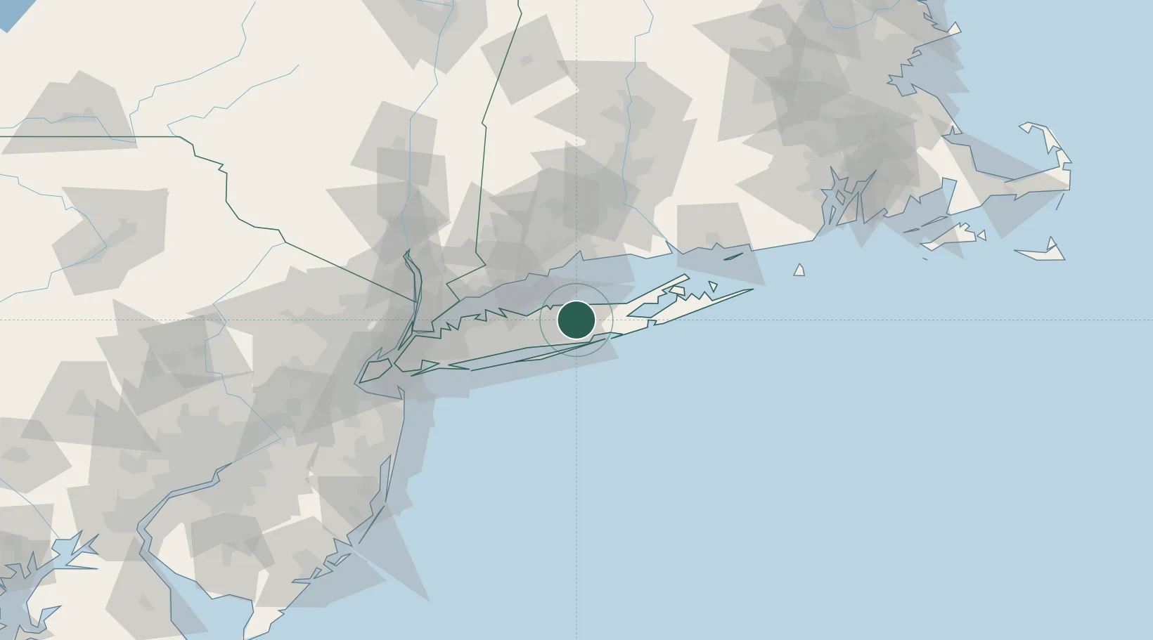
Middle Island
40.8833°, -72.9333°
10,483
Population
2
Transport functions
Transport Functions
Port
Road
Hub Profile
Place type
Populated place
Region
New York
Population
10,483
Time zone
America/New_York
Elevation
25 m
Location
Nearby Logistics Neighbours
Cities
- 1Farmingville10 km
- 2Wading River11 km
- 3Manorville11 km
- 4Port Jefferson13 km
- 5Moriches14 km
Ports
- 1Port Jefferson15 km
- 2Patchogue16 km
- 3Bridgeport38 km
- 4New Haven39 km
- 5Southport40 km
Airports
Trade Zones
- 1FTZ No. 052 Suffolk County23 km
- 2FTZ No. 076 Bridgeport39 km
- 3FTZ No. 162 New Haven47 km
- 4FTZ No. 208 New London88 km
- 5FTZ No. 001 New York City93 km
DatabookThe Record of Consolidated Knowledge
United States beyond logistics?