UN/LOCODE hub · United States
USFGQ
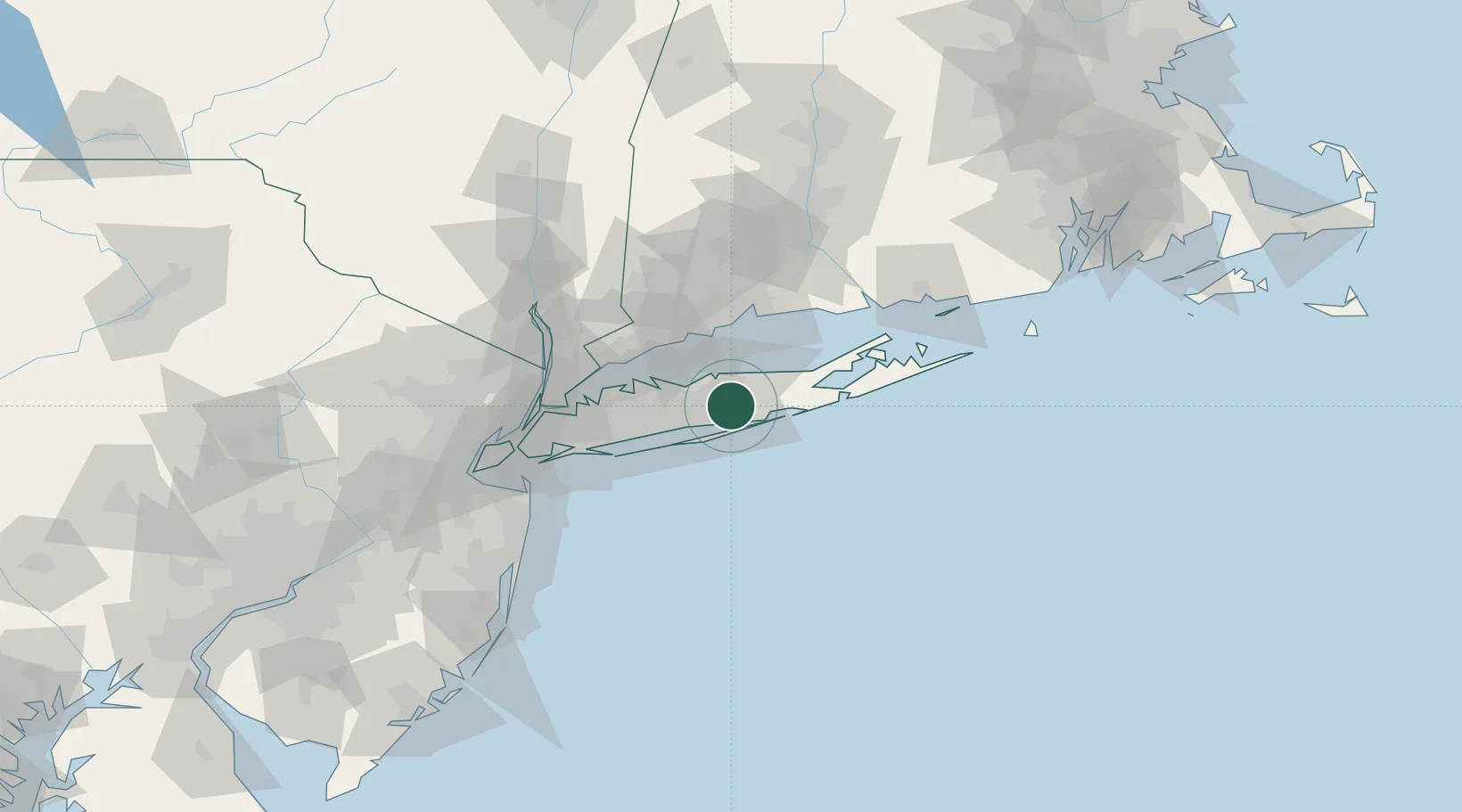
Farmingville
40.8167°, -73.0167°
15,481
Population
2
Transport functions
Transport Functions
Port
Multimodal
Hub Profile
Place type
Populated place
Region
New York
Population
15,481
Time zone
America/New_York
Elevation
32 m
Location
Nearby Logistics Neighbours
Cities
- 1Holbrook5 km
- 2Patchogue6 km
- 3Middle Island10 km
- 4Bellport10 km
- 5West Sayville12 km
Ports
- 1Patchogue7 km
- 2Port Jefferson16 km
- 3Bridgeport41 km
- 4Southport42 km
- 5Norwalk46 km
Airports
Trade Zones
- 1FTZ No. 052 Suffolk County19 km
- 2FTZ No. 076 Bridgeport43 km
- 3FTZ No. 162 New Haven55 km
- 4FTZ No. 001 New York City85 km
- 5FTZ No. 208 New London98 km
DatabookThe Record of Consolidated Knowledge
United States beyond logistics?