UN/LOCODE hub · United States
USMRA
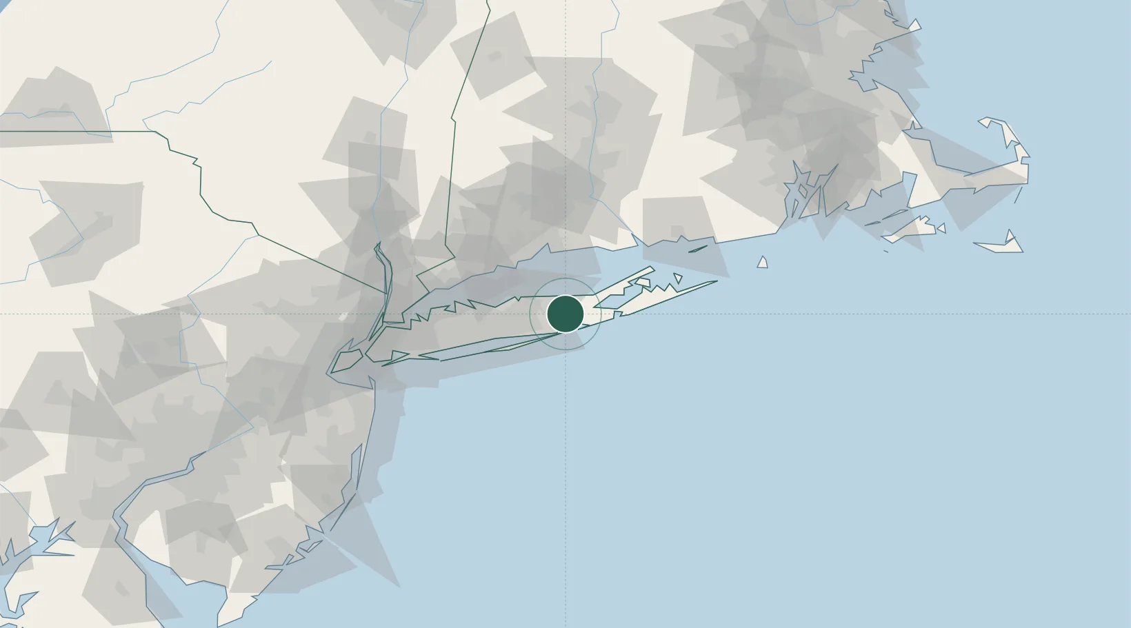
Manorville
40.8667°, -72.8000°
14,314
Population
3
Transport functions
Transport Functions
Rail
Road
Multimodal
Hub Profile
Place type
Populated place
Region
New York
Population
14,314
Time zone
America/New_York
Elevation
16 m
Location
Nearby Logistics Neighbours
Cities
- 1Center Moriches8 km
- 2Moriches8 km
- 3Wading River10 km
- 4Middle Island11 km
- 5Aquebogue17 km
Ports
- 1Patchogue22 km
- 2Port Jefferson26 km
- 3New Haven42 km
- 4Greenport45 km
- 5Bridgeport46 km
Airports
- 1Long Island MacArthur Airport27 km
- 2Igor I Sikorsky Memorial Airport43 km
- 3Tweed New Haven Airport45 km
- 4Republic Airport54 km
- 5Montauk Airport77 km
Trade Zones
- 1FTZ No. 052 Suffolk County34 km
- 2FTZ No. 076 Bridgeport48 km
- 3FTZ No. 162 New Haven50 km
- 4FTZ No. 208 New London80 km
- 5FTZ No. 001 New York City103 km
DatabookThe Record of Consolidated Knowledge
United States beyond logistics?