UN/LOCODE hub · United States
USWY3

Jefferson

44.7167°, -123.0000°
3,247
Population
1
Transport functions

Transport Functions

Multimodal
UN/LOCODE

Hub Profile

Place type
Populated place
GeoNames
Region
Oregon
GeoNames
Population
3,247
GeoNames
Time zone
America/Los_Angeles
GeoNames
Elevation
70 m
GeoNames

Location

Location of USWY3
Natural Earth 10m (public domain) · Oregon · USWY3 · 44.72, -123.00GoogleOSMYandex

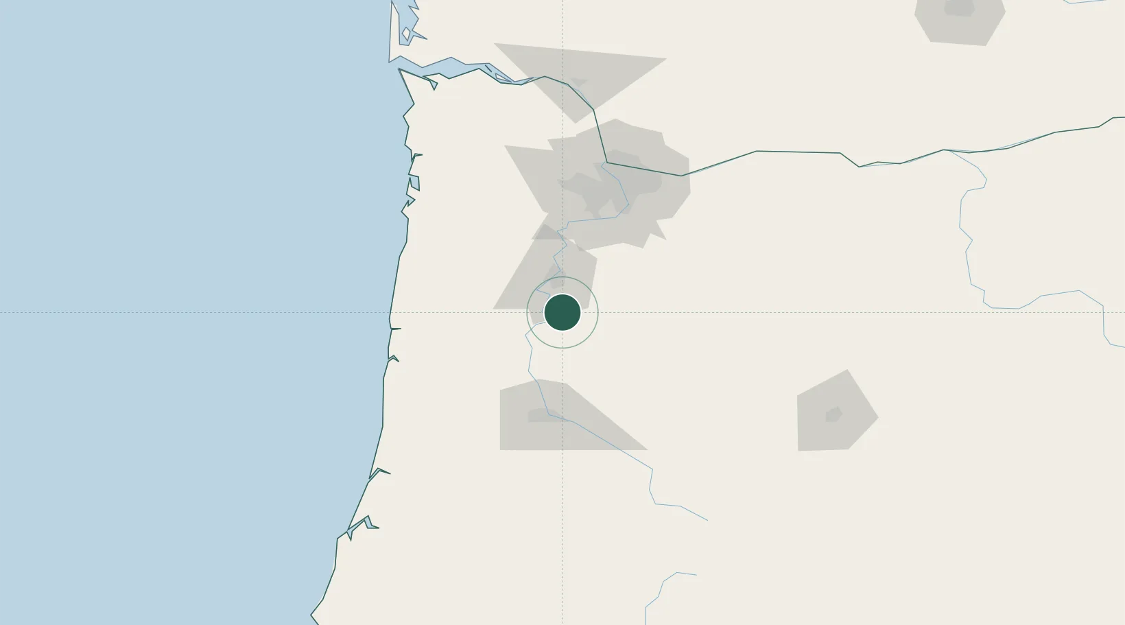
Nearby Logistics Neighbours

Cities
  1. 1Albany12 km
  2. 2Scio13 km
  3. 3Turner14 km
  4. 4Aumsville17 km
  5. 5Monmouth22 km
Nearest neighbours — logibook spatial index (haversine) over the source coordinates
Ports
  1. 1Toledo75 km
  2. 2Newport84 km
  3. 3Portland93 km
  4. 4Vancouver105 km
  5. 5Camas107 km
Nearest neighbours — logibook spatial index (haversine) over the source coordinates
Airports
  1. 1Salem-Willamette Valley Airport/McNary Field21 km
  2. 2Corvallis Municipal Airport34 km
  3. 3McMinnville Municipal Airport54 km
  4. 4Aurora State Airport62 km
  5. 5Eugene Airport68 km
Nearest neighbours — logibook spatial index (haversine) over the source coordinates
Trade Zones
  1. 1FTZ No. 045 Portland93 km
  2. 2FTZ No. 255 Washington County98 km
  3. 3FTZ No. 296 Vancouver105 km
  4. 4FTZ No. 120 Cowlitz County156 km
  5. 5FTZ No. 132 Coos County179 km
Nearest neighbours — logibook spatial index (haversine) over the source coordinates
DatabookThe Record of Consolidated Knowledge
United States beyond logistics?
Browse databook

All Sources

LocationsUN/LOCODE
UN/LOCODE — free
LocationsGeoNames
CC BY 4.0
Portsthe NGA World Port Index
Public domain (US gov)
AirportsOurAirports
Public domain
Trade Zonesthe World Bank SEZ database
CC BY 4.0
Trade ZonesOpen Zone Map
CC BY
← United States locations