UN/LOCODE hub · United States
USUSV
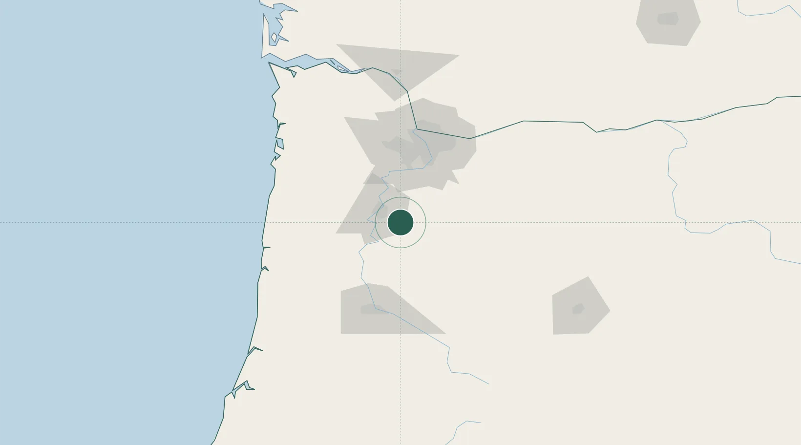
Aumsville
44.8333°, -122.8667°
4,013
Population
2
Transport functions
Transport Functions
Rail
Road
Hub Profile
Place type
Populated place
Region
Oregon
Population
4,013
Time zone
America/Los_Angeles
Elevation
111 m
Location
Nearby Logistics Neighbours
Airports
Trade Zones
- 1FTZ No. 045 Portland79 km
- 2FTZ No. 255 Washington County90 km
- 3FTZ No. 296 Vancouver91 km
- 4FTZ No. 120 Cowlitz County143 km
- 5FTZ No. 132 Coos County195 km
DatabookThe Record of Consolidated Knowledge
United States beyond logistics?