UN/LOCODE hub · United States
USKZR
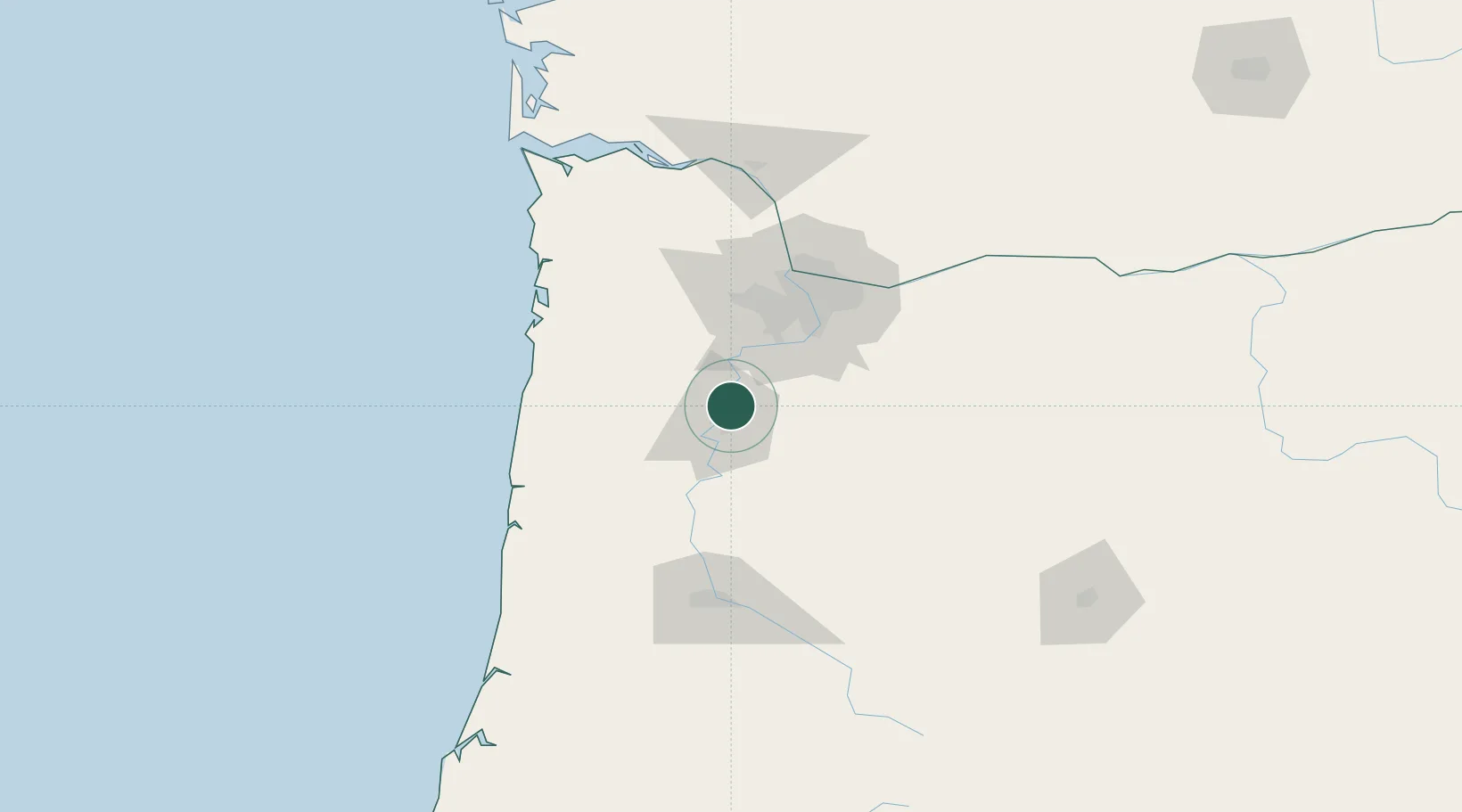
Keizer
45.0000°, -123.0167°
37,895
Population
2
Transport functions
Transport Functions
Rail
Road
Hub Profile
Place type
Populated place
Region
Oregon
Population
37,895
Time zone
America/Los_Angeles
Elevation
42 m
Location
Nearby Logistics Neighbours
Cities
- 1Rickreall18 km
- 2Mount Angel19 km
- 3Turner19 km
- 4Silverton20 km
- 5Aumsville22 km
Airports
Trade Zones
- 1FTZ No. 045 Portland63 km
- 2FTZ No. 255 Washington County68 km
- 3FTZ No. 296 Vancouver75 km
- 4FTZ No. 120 Cowlitz County124 km
- 5FTZ No. 132 Coos County205 km
DatabookThe Record of Consolidated Knowledge
United States beyond logistics?