UN/LOCODE hub · United States
USZDQ
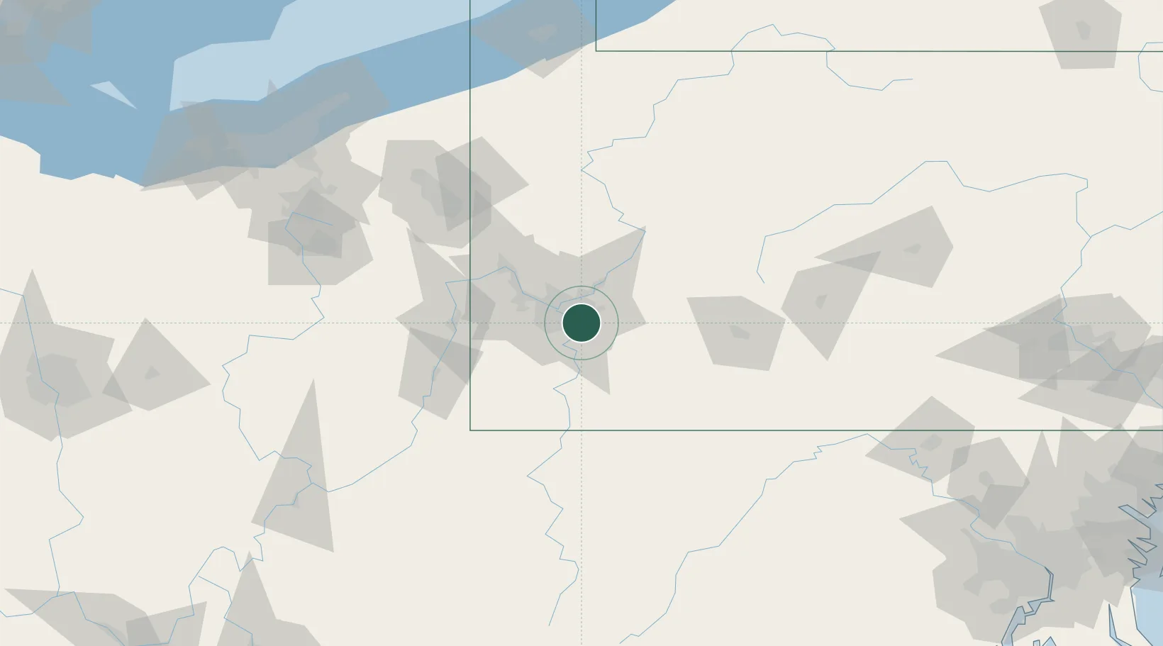
Duquesne
40.3667°, -79.8500°
5,535
Population
4
Transport functions
Transport Functions
Port
Rail
Road
Multimodal
Hub Profile
Place type
Populated place
Region
Pennsylvania
Population
5,535
Time zone
America/New_York
Elevation
277 m
Location
Nearby Logistics Neighbours
Cities
- 1North Versailles4 km
- 2Pittsburgh5 km
- 3Wilmerding5 km
- 4West Homestead5 km
- 5Turtle Creek5 km
Airports
Trade Zones
- 1FTZ No. 033 Pittsburgh18 km
- 2FTZ No. 295 Central Pennsylvania126 km
- 3FTZ No. 254 Jefferson County151 km
- 4FTZ No. 181 Akron Canton173 km
- 5FTZ No. 240 Martinsburg187 km
DatabookThe Record of Consolidated Knowledge
United States beyond logistics?