UN/LOCODE hub · United States
USIWO

Birchwood

45.6667°, -91.5500°
425
Population
3
Transport functions

Transport Functions

Port
Road
Multimodal
UN/LOCODE

Hub Profile

Place type
Populated place
GeoNames
Region
Wisconsin
GeoNames
Population
425
GeoNames
Time zone
America/Chicago
GeoNames
Elevation
385 m
GeoNames

Location

Location of USIWO
Natural Earth 10m (public domain) · Wisconsin · USIWO · 45.67, -91.55GoogleOSMYandex

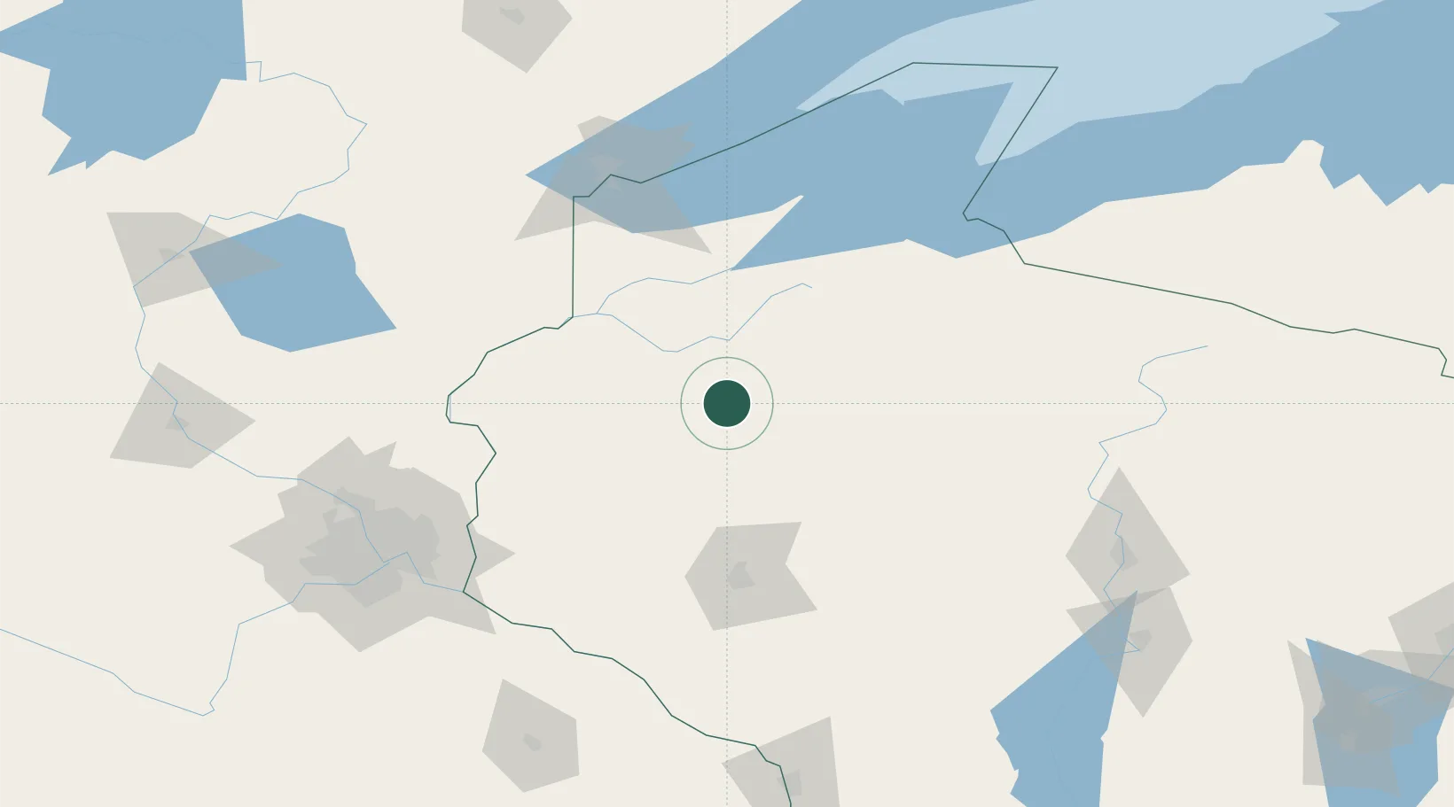
Nearby Logistics Neighbours

Cities
  1. 1Exeland25 km
  2. 2Cameron32 km
  3. 3Bruce33 km
  4. 4Chetek40 km
  5. 5Cumberland40 km
Nearest neighbours — logibook spatial index (haversine) over the source coordinates
Ports
  1. 1Ashland116 km
  2. 2Washburn123 km
  3. 3Superior125 km
  4. 4Duluth129 km
  5. 5La Pointe138 km
Nearest neighbours — logibook spatial index (haversine) over the source coordinates
Airports
  1. 1Sawyer County Airport41 km
  2. 2Chippewa Valley Regional Airport89 km
  3. 3New Richmond Regional Airport96 km
  4. 4Duluth International Airport140 km
  5. 5Saint Paul Downtown Holman Field143 km
Nearest neighbours — logibook spatial index (haversine) over the source coordinates
Trade Zones
  1. 1FTZ No. 051 Duluth134 km
  2. 2FTZ No. 119 Minneapolis-St. Paul153 km
  3. 3FTZ No. 167 Brown County289 km
  4. 4FTZ No. 266 Dane County324 km
  5. 5FTZ No. 259 Koochiching County358 km
Nearest neighbours — logibook spatial index (haversine) over the source coordinates
DatabookThe Record of Consolidated Knowledge
United States beyond logistics?
Browse databook

All Sources

LocationsUN/LOCODE
UN/LOCODE — free
LocationsGeoNames
CC BY 4.0
Portsthe NGA World Port Index
Public domain (US gov)
AirportsOurAirports
Public domain
Trade Zonesthe World Bank SEZ database
CC BY 4.0
Trade ZonesOpen Zone Map
CC BY
← United States locations