UN/LOCODE hub · United States
US9CT
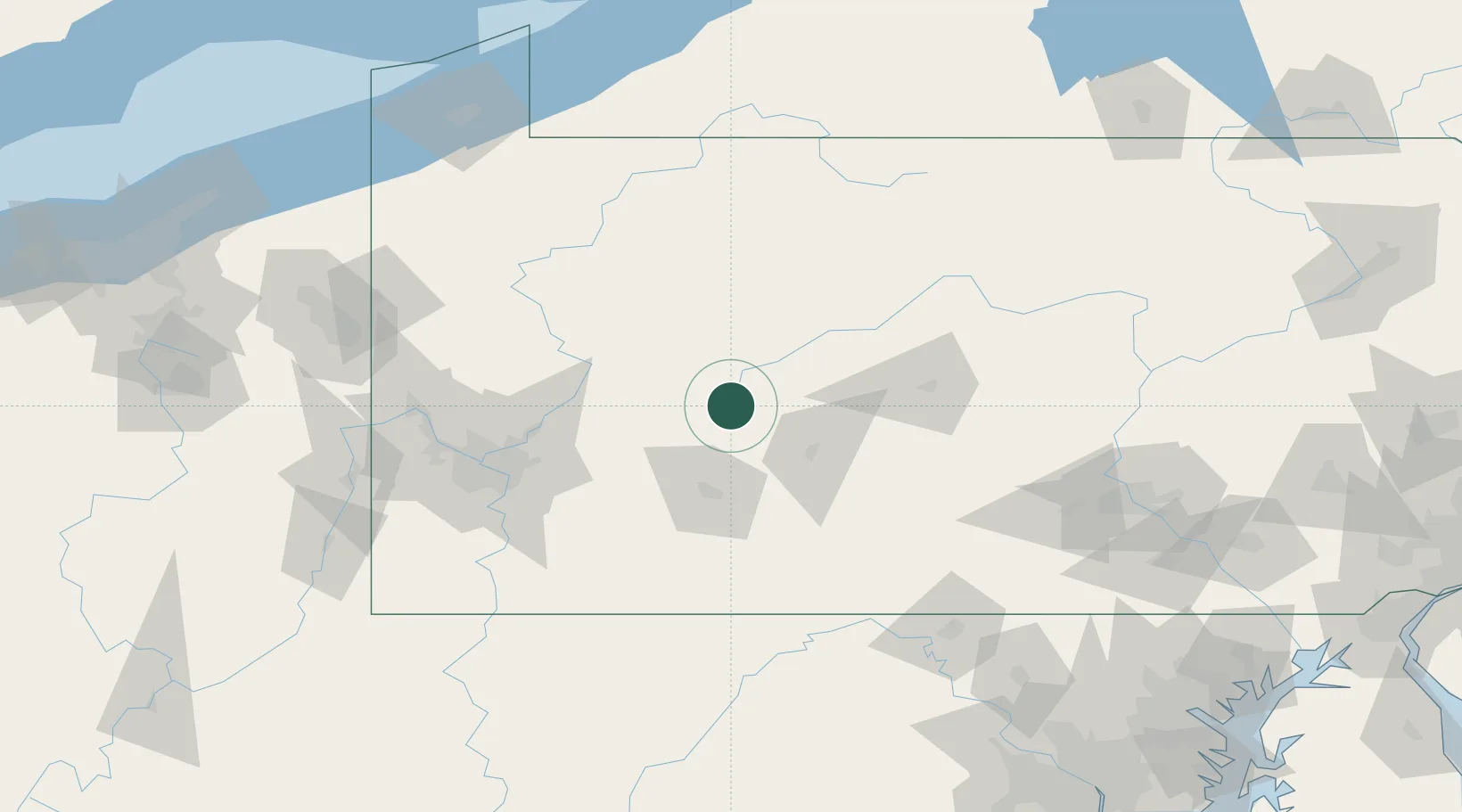
Cherry Tree
40.7167°, -78.8000°
352
Population
2
Transport functions
Transport Functions
Rail
Road
Hub Profile
Place type
Populated place
Region
Pennsylvania
Population
352
Time zone
America/New_York
Elevation
422 m
Location
Nearby Logistics Neighbours
Cities
- 1Northern Cambria6 km
- 2Thompsontown19 km
- 3Middleton19 km
- 4Irvona22 km
- 5Punxsutawney28 km
Airports
Trade Zones
- 1FTZ No. 295 Central Pennsylvania44 km
- 2FTZ No. 254 Jefferson County80 km
- 3FTZ No. 033 Pittsburgh110 km
- 4FTZ No. 240 Martinsburg155 km
- 5FTZ No. 247 Erie190 km
DatabookThe Record of Consolidated Knowledge
United States beyond logistics?