UN/LOCODE hub · United States
USZHG
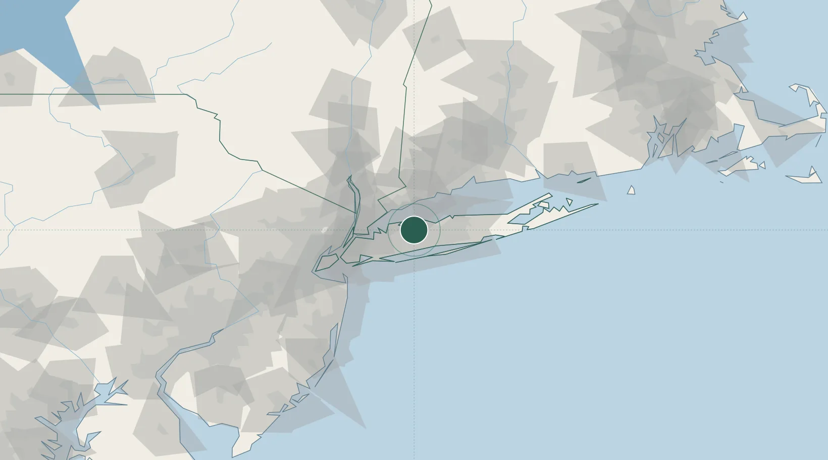
Huntington Station
40.8500°, -73.4167°
33,029
Population
2
Transport functions
Transport Functions
Rail
Road
Hub Profile
Place type
Populated place
Region
New York
Population
33,029
Time zone
America/New_York
Elevation
66 m
Location
Nearby Logistics Neighbours
Cities
- 1Cold Spring Harbor3 km
- 2Woodbury, Nassau6 km
- 3East Northport9 km
- 4Upper Brookville11 km
- 5Kings Park13 km
Ports
- 1Stamford23 km
- 2Greenwich25 km
- 3Port Chester27 km
- 4Norwalk28 km
- 5Port Jefferson30 km
Airports
Trade Zones
DatabookThe Record of Consolidated Knowledge
United States beyond logistics?