Transport Functions
Port
Rail
Road
Hub Profile
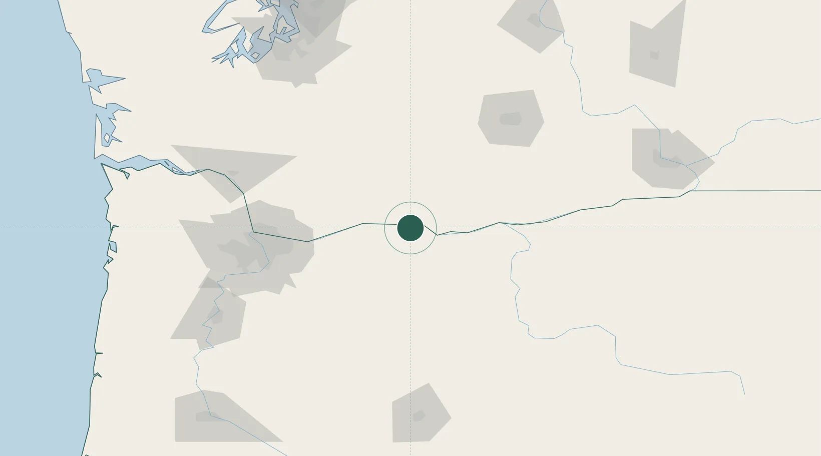
Place type
Populated place
Region
Oregon
Population
445
Time zone
America/Los_Angeles
Elevation
38 m
Location
Nearby Logistics Neighbours
Cities
- 1Lyle8 km
- 2Goldendale46 km
- 3Brightwood60 km
- 4Eagle Creek84 km
- 5Roosevelt92 km
Ports
- 1The Dalles18 km
- 2Washougal76 km
- 3Camas80 km
- 4Vancouver101 km
- 5Portland102 km
Airports
Trade Zones
- 1FTZ No. 296 Vancouver102 km
- 2FTZ No. 045 Portland111 km
- 3FTZ No. 120 Cowlitz County135 km
- 4FTZ No. 255 Washington County157 km
- 5FTZ No. 216 Olympia192 km
DatabookThe Record of Consolidated Knowledge
United States beyond logistics?