UN/LOCODE hub · United States
USGLA
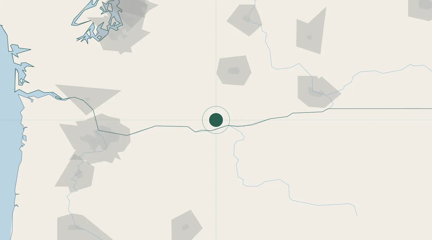
Goldendale
45.8167°, -120.8167°
3,435
Population
3
Transport functions
Transport Functions
Port
Rail
Road
Hub Profile
Place type
Provincial seat
Region
Washington
Population
3,435
Time zone
America/Los_Angeles
Elevation
499 m
Location
Nearby Logistics Neighbours
Ports
- 1The Dalles37 km
- 2Washougal122 km
- 3Camas126 km
- 4Vancouver146 km
- 5Portland148 km
Airports
Trade Zones
- 1FTZ No. 296 Vancouver147 km
- 2FTZ No. 045 Portland157 km
- 3FTZ No. 120 Cowlitz County173 km
- 4FTZ No. 203 Moses Lake185 km
- 5FTZ No. 086 Tacoma202 km
DatabookThe Record of Consolidated Knowledge
United States beyond logistics?