Transport Functions
Road
Multimodal
Hub Profile
Place type
Populated place
Region
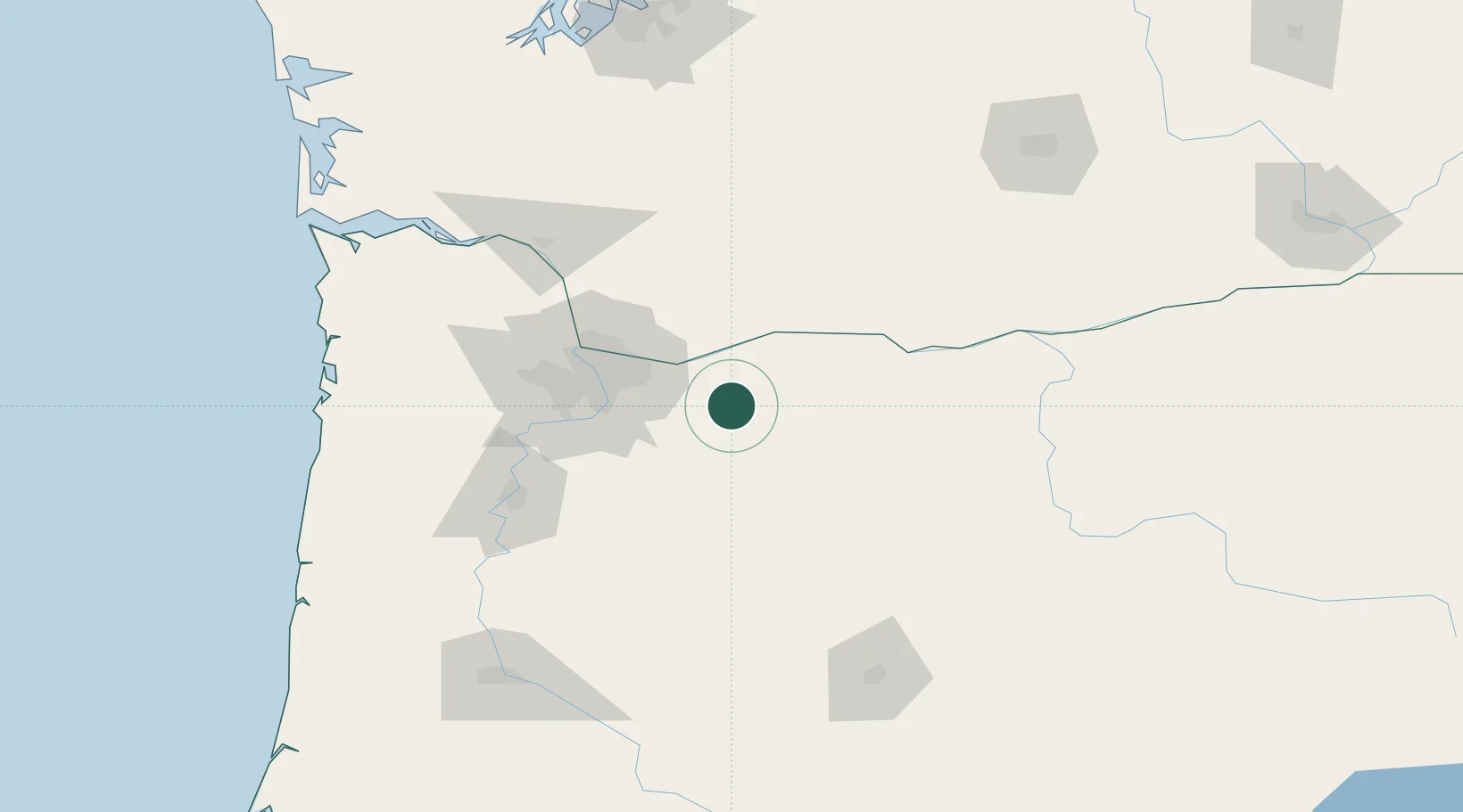
Oregon
Time zone
America/Los_Angeles
Elevation
350 m
Location
Nearby Logistics Neighbours
Cities
- 1Eagle Creek27 km
- 2Beaver Creek43 km
- 3Portland50 km
- 4Vancouver60 km
- 5Mosier60 km
Ports
- 1Washougal36 km
- 2Camas39 km
- 3Portland55 km
- 4Vancouver61 km
- 5The Dalles69 km
Airports
Trade Zones
- 1FTZ No. 296 Vancouver62 km
- 2FTZ No. 045 Portland65 km
- 3FTZ No. 255 Washington County111 km
- 4FTZ No. 120 Cowlitz County115 km
- 5FTZ No. 216 Olympia199 km
DatabookThe Record of Consolidated Knowledge
United States beyond logistics?