Transport Functions
Port
Road
Hub Profile
Place type
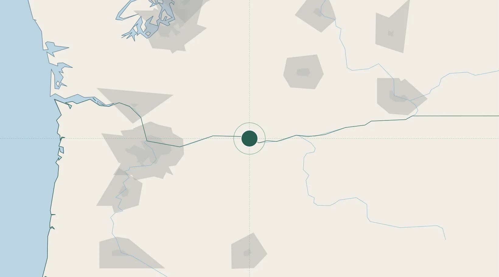
Populated place
Region
Washington
Population
499
Time zone
America/Los_Angeles
Elevation
60 m
Location
Nearby Logistics Neighbours
Cities
- 1Mosier8 km
- 2Goldendale39 km
- 3Brightwood66 km
- 4Roosevelt84 km
- 5Eagle Creek91 km
Ports
- 1The Dalles12 km
- 2Washougal84 km
- 3Camas88 km
- 4Vancouver109 km
- 5Portland109 km
Airports
Trade Zones
- 1FTZ No. 296 Vancouver109 km
- 2FTZ No. 045 Portland119 km
- 3FTZ No. 120 Cowlitz County142 km
- 4FTZ No. 255 Washington County165 km
- 5FTZ No. 086 Tacoma196 km
DatabookThe Record of Consolidated Knowledge
United States beyond logistics?