UN/LOCODE hub · United States
USYJY
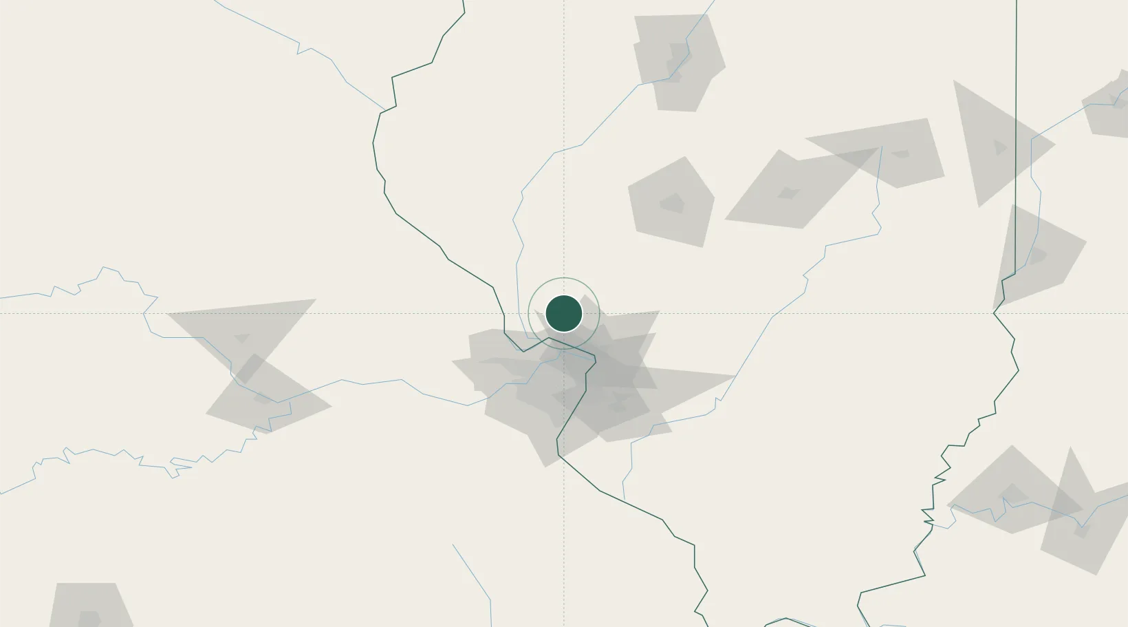
Jerseyville
39.1167°, -90.3333°
8,469
Population
3
Transport functions
Transport Functions
Rail
Road
Multimodal
Hub Profile
Place type
Provincial seat
Region
Illinois
Population
8,469
Time zone
America/Chicago
Elevation
201 m
Location
Nearby Logistics Neighbours
Cities
- 1Bunker Hill34 km
- 2Saint Charles36 km
- 3Elsberry38 km
- 4Berkeley41 km
- 5South Roxana41 km
Ports
- 1Indiana Harbor375 km
- 2Calumet Harbor376 km
- 3Gary377 km
- 4Chicago385 km
- 5Wilmette399 km
Airports
Trade Zones
- 1FTZ No. 031 Granite City43 km
- 2FTZ No. 102 St. Louis County62 km
- 3FTZ No. 245 Decatur137 km
- 4FTZ No. 114 Peoria187 km
- 5FTZ No. 055 Burlington199 km
DatabookThe Record of Consolidated Knowledge
United States beyond logistics?