Transport Functions
Port
Multimodal
Hub Profile
Place type
Populated place
Region
Pennsylvania
Time zone
America/New_York
Elevation
102 m
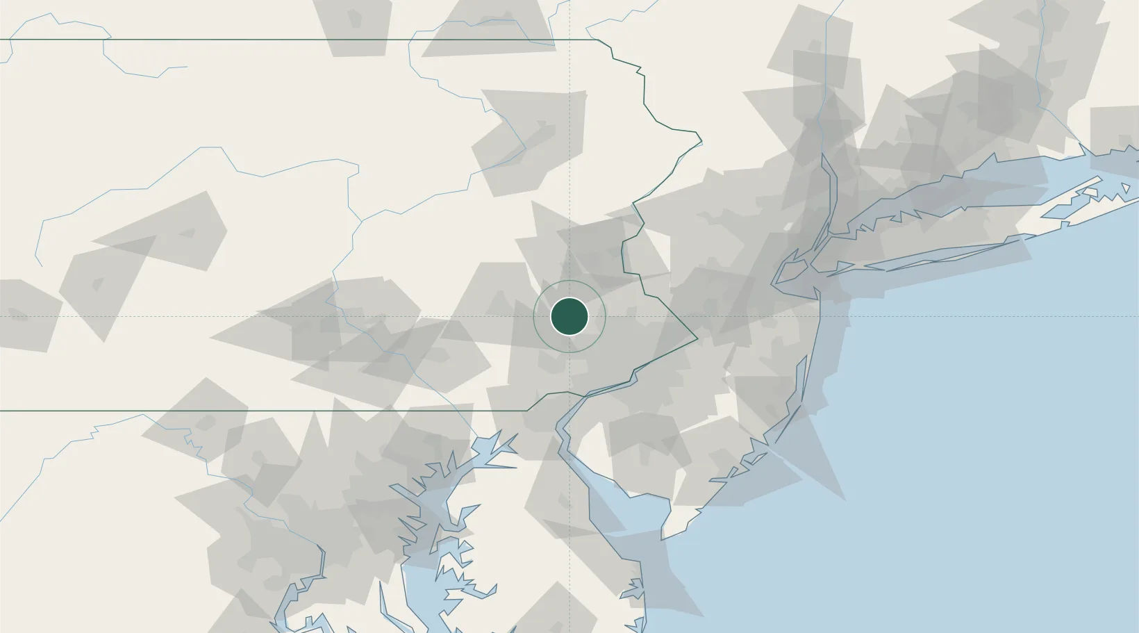
Location
Nearby Logistics Neighbours
Cities
- 1Red Hill8 km
- 2Parker Ford13 km
- 3Rahns13 km
- 4Palm13 km
- 5Hatfield, Montgomery19 km
Ports
- 1Philadelphia51 km
- 2Camden51 km
- 3Chester52 km
- 4Marcus Hook54 km
- 5Paulsboro55 km
Airports
Trade Zones
DatabookThe Record of Consolidated Knowledge
United States beyond logistics?