UN/LOCODE hub · United States
USRHY
Red Hill
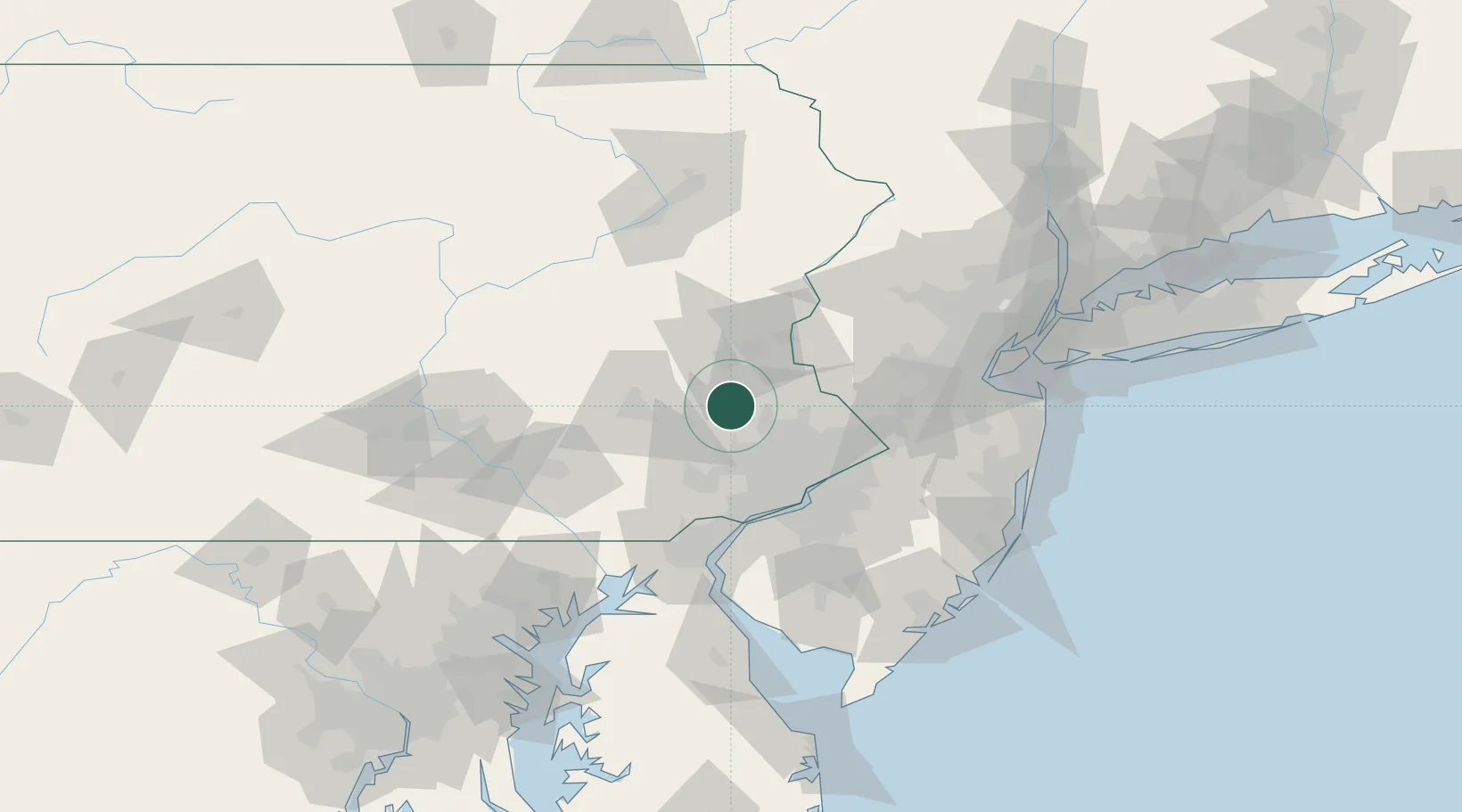
40.3667°, -75.4833°
2,383
Population
3
Transport functions
Transport Functions
Port
Rail
Road
Hub Profile
Place type
Populated place
Region
Pennsylvania
Population
2,383
Time zone
America/New_York
Elevation
116 m
Location
Nearby Logistics Neighbours
Cities
- 1Palm7 km
- 2Frederick8 km
- 3Sellersville14 km
- 4Perkasie17 km
- 5Hatfield, Montgomery18 km
Ports
- 1Philadelphia55 km
- 2Camden55 km
- 3Chester59 km
- 4Gloucester60 km
- 5Paulsboro61 km
Airports
Trade Zones
DatabookThe Record of Consolidated Knowledge
United States beyond logistics?