UN/LOCODE hub · United States
USHAT

Hatfield, Montgomery

40.2833°, -75.3000°
3
Transport functions

Transport Functions

Rail
Road
Multimodal
UN/LOCODE

Hub Profile

Region
PA
GeoNames

Location

Location of USHAT
Natural Earth 10m (public domain) · PA · USHAT · 40.28, -75.30GoogleOSMYandex

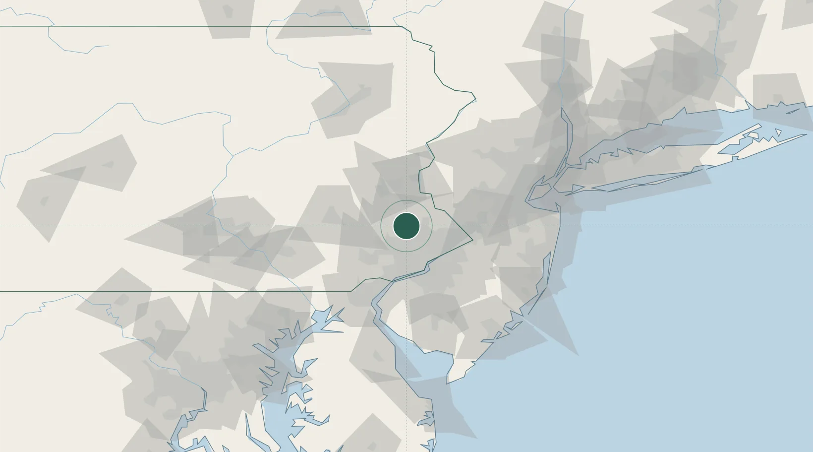
Nearby Logistics Neighbours

Cities
  1. 1Line Lexington4 km
  2. 2Perkasie9 km
  3. 3Sellersville9 km
  4. 4Dublin13 km
  5. 5Rahns16 km
Nearest neighbours — logibook spatial index (haversine) over the source coordinates
Ports
  1. 1Philadelphia40 km
  2. 2Camden40 km
  3. 3Burlington43 km
  4. 4Bristol43 km
  5. 5Gloucester45 km
Nearest neighbours — logibook spatial index (haversine) over the source coordinates
Airports
  1. 1Northeast Philadelphia Airport33 km
  2. 2Trenton Mercer Airport41 km
  3. 3Lehigh Valley International Airport43 km
  4. 4Philadelphia International Airport46 km
  5. 5Reading Regional Airport (Carl A Spaatz Field)57 km
Nearest neighbours — logibook spatial index (haversine) over the source coordinates
Trade Zones
  1. 1FTZ No. 035 Philadelphia31 km
  2. 2FTZ No. 200 Mercer County38 km
  3. 3FTZ No. 272 Counties of Lehigh and Northampton59 km
  4. 4FTZ No. 099 Wilmington64 km
  5. 5FTZ No. 044 Morris County75 km
Nearest neighbours — logibook spatial index (haversine) over the source coordinates
DatabookThe Record of Consolidated Knowledge
United States beyond logistics?
Browse databook

All Sources

LocationsUN/LOCODE
UN/LOCODE — free
Portsthe NGA World Port Index
Public domain (US gov)
AirportsOurAirports
Public domain
Trade Zonesthe World Bank SEZ database
CC BY 4.0
Trade ZonesOpen Zone Map
CC BY
← United States locations