Transport Functions
Port
Road
Multimodal
Hub Profile
Place type
Populated place
Region
Pennsylvania
Time zone
America/New_York
Elevation
112 m
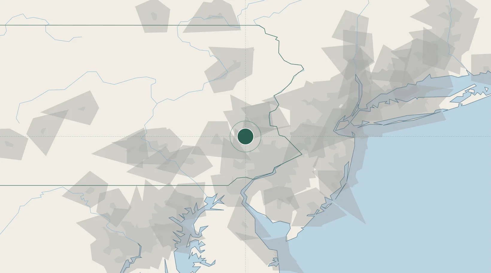
Location
Nearby Logistics Neighbours
Cities
- 1Red Hill7 km
- 2Frederick13 km
- 3Center Valley17 km
- 4Sellersville19 km
- 5Perkasie22 km
Ports
- 1Philadelphia62 km
- 2Camden62 km
- 3Chester65 km
- 4Gloucester67 km
- 5Marcus Hook68 km
Airports
Trade Zones
DatabookThe Record of Consolidated Knowledge
United States beyond logistics?