Transport Functions
Road
Multimodal
Hub Profile
Place type
Populated place
Region
Pennsylvania
Time zone
America/New_York
Elevation
42 m
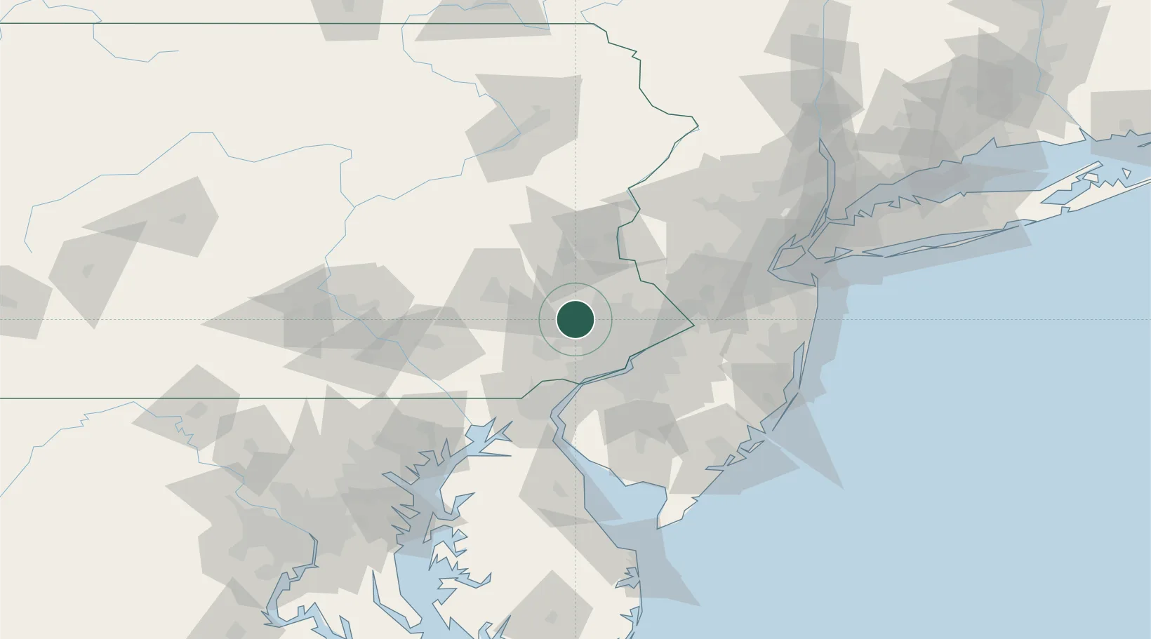
Location
Nearby Logistics Neighbours
Cities
- 1Eagleville7 km
- 2Parker Ford11 km
- 3East Norriton12 km
- 4Frederick13 km
- 5Hatfield, Montgomery16 km
Ports
- 1Philadelphia39 km
- 2Camden39 km
- 3Chester40 km
- 4Paulsboro43 km
- 5Marcus Hook43 km
Airports
Trade Zones
DatabookThe Record of Consolidated Knowledge
United States beyond logistics?