UN/LOCODE hub · United States
USWZF
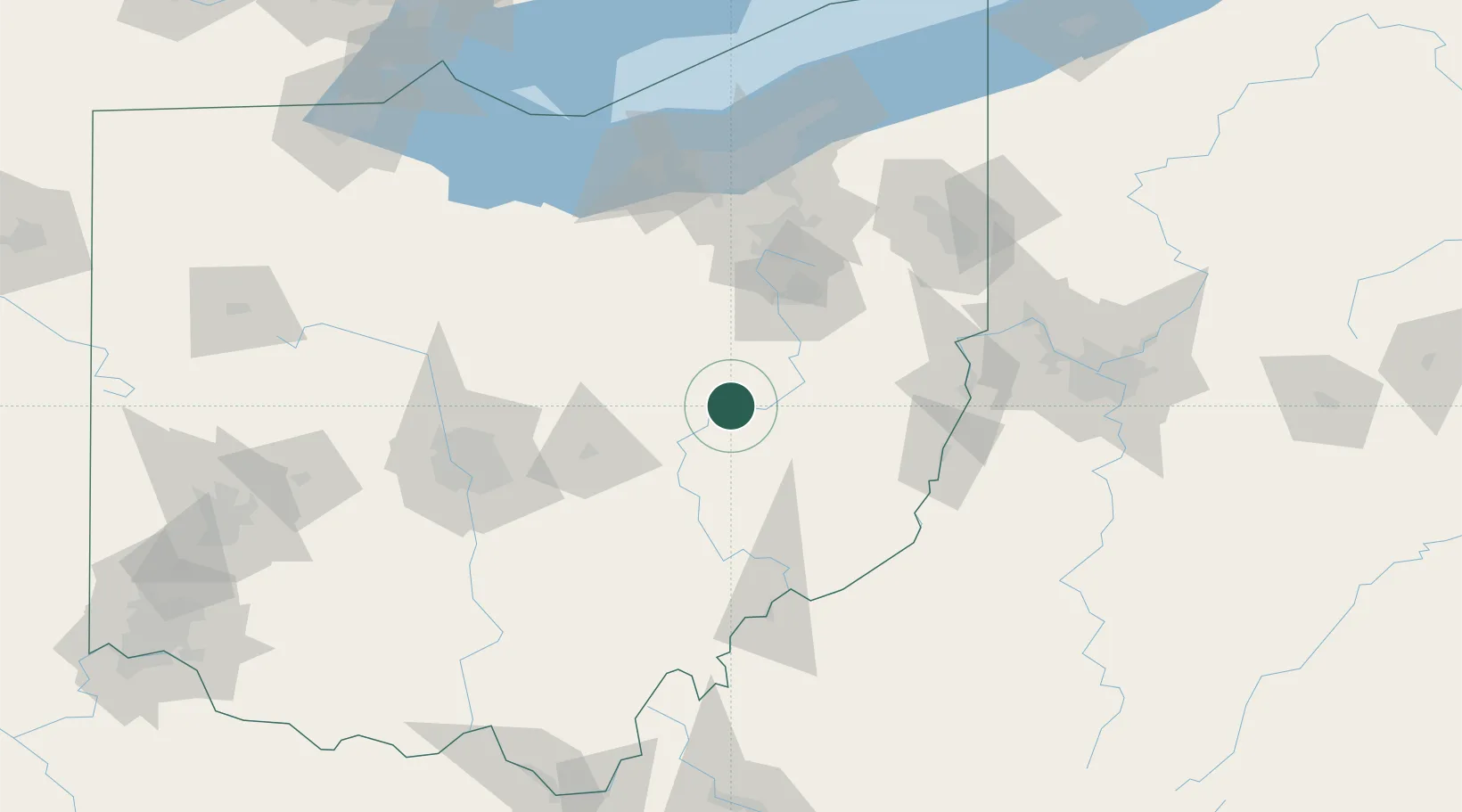
West Lafayette
40.2833°, -81.7500°
2,286
Population
2
Transport functions
Transport Functions
Rail
Road
Hub Profile
Place type
Populated place
Region
Ohio
Population
2,286
Time zone
America/New_York
Elevation
245 m
Location
Nearby Logistics Neighbours
Cities
- 1Fresno6 km
- 2Conesville16 km
- 3Baltic17 km
- 4Sugarcreek26 km
- 5Walnut Creek28 km
Airports
Trade Zones
- 1FTZ No. 181 Akron Canton75 km
- 2FTZ No. 138 Franklin County114 km
- 3FTZ No. 040 Cleveland135 km
- 4FTZ No. 033 Pittsburgh145 km
- 5FTZ No. 151 Findlay185 km
DatabookThe Record of Consolidated Knowledge
United States beyond logistics?