Transport Functions
Rail
Road
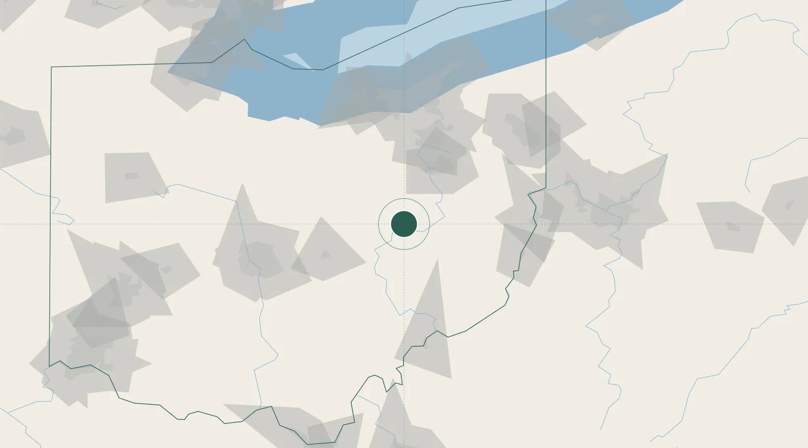
Hub Profile
Place type
Populated place
Region
Ohio
Population
140
Time zone
America/New_York
Elevation
240 m
Location
Nearby Logistics Neighbours
Cities
- 1West Lafayette6 km
- 2Baltic12 km
- 3Conesville20 km
- 4Sugarcreek21 km
- 5Walnut Creek22 km
Airports
Trade Zones
- 1FTZ No. 181 Akron Canton69 km
- 2FTZ No. 138 Franklin County116 km
- 3FTZ No. 040 Cleveland130 km
- 4FTZ No. 033 Pittsburgh144 km
- 5FTZ No. 151 Findlay183 km
DatabookThe Record of Consolidated Knowledge
United States beyond logistics?