Transport Functions
Rail
Road
Multimodal
Hub Profile
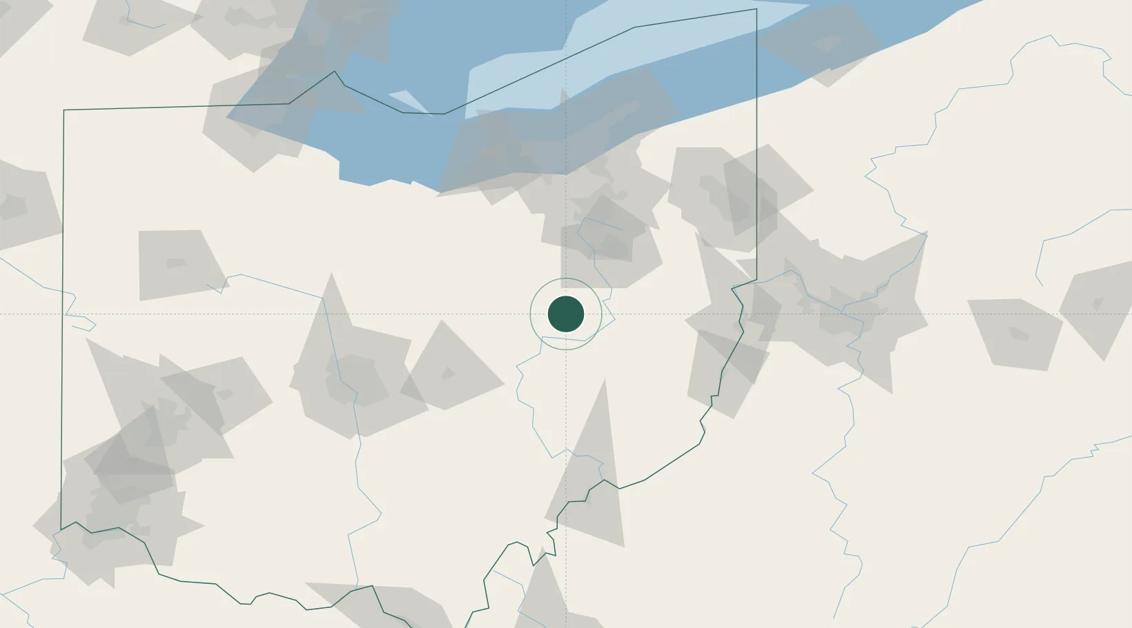
Place type
Populated place
Region
Ohio
Population
789
Time zone
America/New_York
Elevation
325 m
Location
Nearby Logistics Neighbours
Cities
- 1Sugarcreek9 km
- 2Walnut Creek11 km
- 3Fresno12 km
- 4West Lafayette17 km
- 5Mount Hope22 km
Airports
Trade Zones
- 1FTZ No. 181 Akron Canton58 km
- 2FTZ No. 040 Cleveland119 km
- 3FTZ No. 138 Franklin County126 km
- 4FTZ No. 033 Pittsburgh140 km
- 5FTZ No. 151 Findlay182 km
DatabookThe Record of Consolidated Knowledge
United States beyond logistics?