Small airport · Kyrgyzstan

Tamga AirportKG-0006
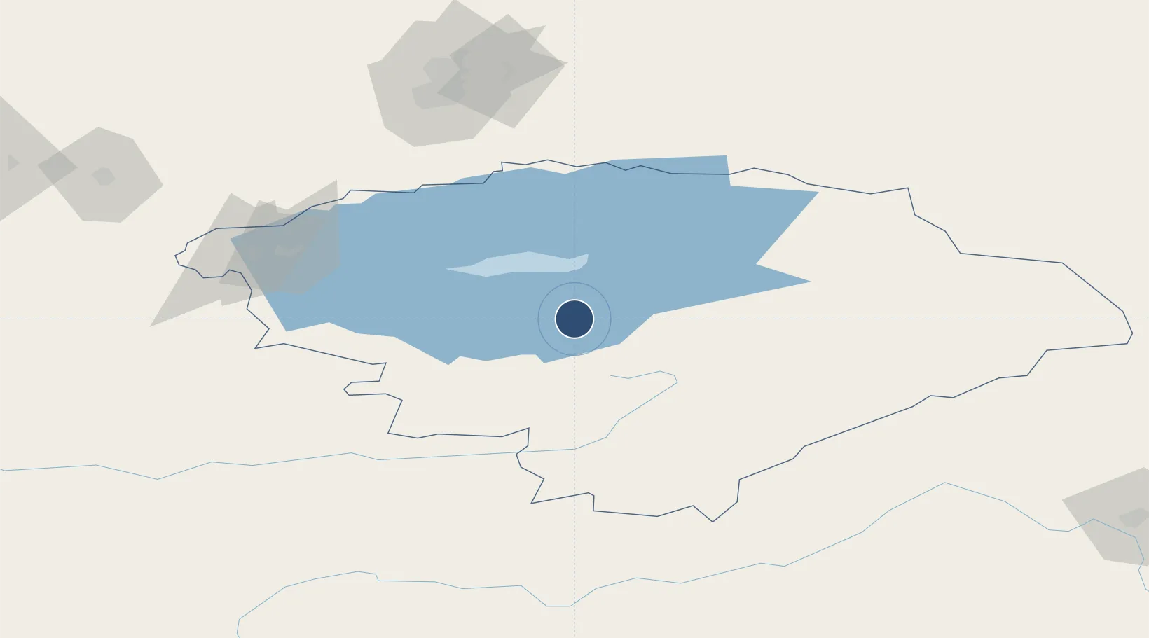
42.1531°, 77.5639°
2,788 ft
Longest runway
1
Runways
5,655 ft
Elevation

Runway & Layout

Runways · 1

RunwayDimensions SurfaceTrue headingLit
18/36 2,788 × 574ft asphalt
OurAirports

Airport Specifications

ICAO code
UAFA
OurAirports
Airport class
Small airport
OurAirports
Scheduled service
Yes
OurAirports
Runway surface
asphalt
OurAirports
Served city
Tamga
OurAirports

Location

Location of KG-0006
Natural Earth 10m (public domain) · Ysyk-Köl · KG-0006 · 42.15, 77.56GoogleOSMYandex

Nearby Logistics Neighbours

Airports
  1. 1Karakol Airport80 km
  2. 2Issyk-Kul International Airport86 km
  3. 3Almaty International Airport140 km
  4. 4Naryn Airport143 km
  5. 5Tokmok Airport198 km
Nearest neighbours — logibook spatial index (haversine) over the source coordinates
Cities
  1. 1Wysox105 km
  2. 2Almaty139 km
  3. 3Alamedin254 km
  4. 4Bishkek (ex Frunze)256 km
  5. 5Horgos339 km
Nearest neighbours — logibook spatial index (haversine) over the source coordinates
Ports
  1. 1Muhamamad Bin Qasim2149 km
  2. 2Karachi2162 km
  3. 3Kandla2232 km
  4. 4Navlakhi2234 km
  5. 5Mandvi2279 km
Nearest neighbours — logibook spatial index (haversine) over the source coordinates
Trade Zones
  1. 1Karakol Special Economic Zone131 km
  2. 2Park of Innovative Technologies Special Economic Zone138 km
  3. 3Naryn Special Economic Zone152 km
  4. 4Aksu Economic and Technological Development Zone247 km
  5. 5Bishkek Special Economic Zone256 km
Nearest neighbours — logibook spatial index (haversine) over the source coordinates
DatabookThe Record of Consolidated Knowledge
Kyrgyzstan beyond logistics?
Browse databook

All Sources

AirportsOurAirports
Public domain
Portsthe NGA World Port Index
Public domain (US gov)
LocationsUN/LOCODE
UN/LOCODE — free
Trade Zonesthe World Bank SEZ database
CC BY 4.0
Trade ZonesOpen Zone Map
CC BY
← Kyrgyzstan airports