UN/LOCODE hub · United States
USWNK
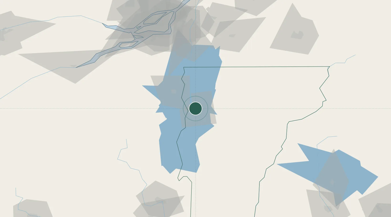
Winooski
44.4833°, -73.2000°
7,193
Population
3
Transport functions
Transport Functions
Port
Road
Multimodal
Hub Profile
Place type
Populated place
Region
Vermont
Population
7,193
Time zone
America/New_York
Elevation
54 m
Location
Nearby Logistics Neighbours
Cities
- 1Stain George15 km
- 2Milton18 km
- 3Saint Albans38 km
- 4Weybridge48 km
- 5Morrisville50 km
Ports
- 1Beauharnois107 km
- 2Coteau Landing116 km
- 3St Anicet117 km
- 4Montreal118 km
- 5St Zotique119 km
Airports
Trade Zones
- 1Greater Montreal Free Zone Center118 km
- 2FTZ No. 118 Ogdensburg185 km
- 3FTZ No. 268 Brattleboro187 km
- 4FTZ No. 121 Albany203 km
- 5FTZ No. 109 Watertown222 km
DatabookThe Record of Consolidated Knowledge
United States beyond logistics?