Transport Functions
Port
Road
Hub Profile
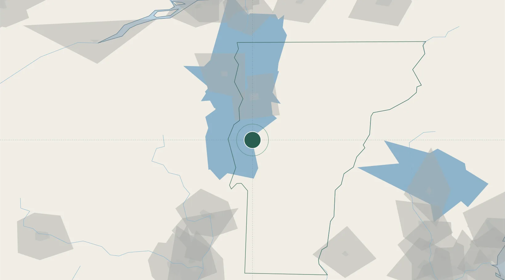
Place type
Populated place
Region
Vermont
Time zone
America/New_York
Elevation
48 m
Location
Nearby Logistics Neighbours
Cities
- 1Forest Dale29 km
- 2Hancock33 km
- 3Stain George36 km
- 4Randolph45 km
- 5Northfield45 km
Ports
- 1Beauharnois151 km
- 2St Anicet152 km
- 3Troy152 km
- 4Coteau Landing155 km
- 5St Zotique157 km
Airports
Trade Zones
- 1FTZ No. 268 Brattleboro141 km
- 2FTZ No. 121 Albany157 km
- 3Greater Montreal Free Zone Center165 km
- 4FTZ No. 118 Ogdensburg198 km
- 5FTZ No. 201 Holyoke207 km
DatabookThe Record of Consolidated Knowledge
United States beyond logistics?