UN/LOCODE hub · United States
USNAS
Nashville
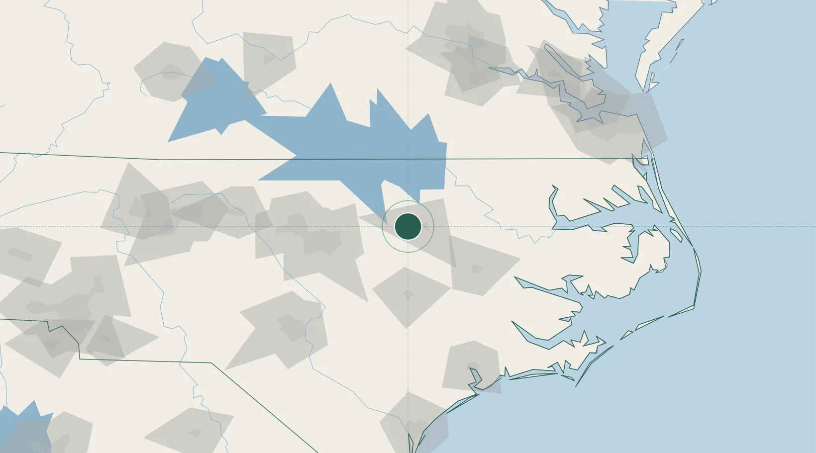
35.9667°, -77.9667°
5,460
Population
3
Transport functions
Transport Functions
Rail
Road
Multimodal
Hub Profile
Place type
Provincial seat
Region
North Carolina
Population
5,460
Time zone
America/New_York
Elevation
57 m
Location
Nearby Logistics Neighbours
Cities
- 1Sharpsburg18 km
- 2Salemburg20 km
- 3Elm City21 km
- 4Whitakers28 km
- 5Middlesex29 km
Ports
- 1Washington95 km
- 2Plymouth110 km
- 3Edenton122 km
- 4New Bern127 km
- 5Belhaven128 km
Airports
Trade Zones
- 1FTZ No. 214 Lenoir County84 km
- 2FTZ No. 093 Raleigh Durham85 km
- 3FTZ No. 020 Suffolk163 km
- 4FTZ No. 207 Richmond177 km
- 5FTZ No. 230 Piedmont Triad Area198 km
DatabookThe Record of Consolidated Knowledge
United States beyond logistics?