UN/LOCODE hub · United States
USRPB
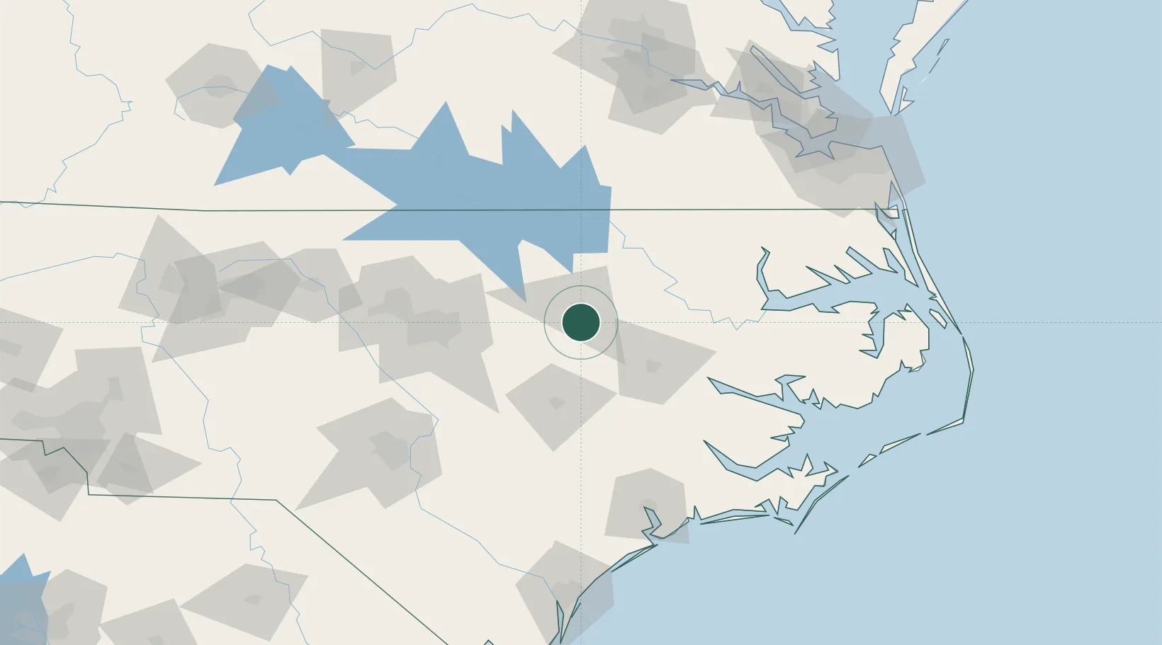
Sharpsburg
35.8667°, -77.8167°
2,003
Population
2
Transport functions
Transport Functions
Rail
Road
Hub Profile
Place type
Populated place
Region
North Carolina
Population
2,003
Time zone
America/New_York
Elevation
42 m
Location
Nearby Logistics Neighbours
Ports
- 1Washington78 km
- 2Plymouth96 km
- 3Edenton110 km
- 4New Bern110 km
- 5Belhaven112 km
Airports
Trade Zones
- 1FTZ No. 214 Lenoir County73 km
- 2FTZ No. 093 Raleigh Durham98 km
- 3FTZ No. 020 Suffolk161 km
- 4FTZ No. 207 Richmond186 km
- 5FTZ No. 230 Piedmont Triad Area213 km
DatabookThe Record of Consolidated Knowledge
United States beyond logistics?