UN/LOCODE hub · United States
USWBE
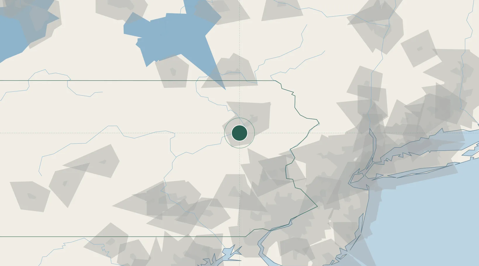
Wilkes-Barre
41.2333°, -75.8667°
40,780
Population
3
Transport functions
Transport Functions
Rail
Road
Multimodal
Hub Profile
Place type
Populated place
Region
Pennsylvania
Population
40,780
Time zone
America/New_York
Elevation
163 m
Location
Nearby Logistics Neighbours
Cities
- 1Ashley3 km
- 2Hanover Township, Luzerne4 km
- 3West Pittston12 km
- 4Nanticoke12 km
- 5Dupont14 km
Ports
- 1Trenton148 km
- 2Sayreville152 km
- 3Bristol152 km
- 4Burlington153 km
- 5Bayway155 km
Airports
Trade Zones
DatabookThe Record of Consolidated Knowledge
United States beyond logistics?