UN/LOCODE hub · United States
USPUD

Dupont

41.3167°, -75.7500°
2,714
Population
3
Transport functions

Transport Functions

Rail
Road
Multimodal
UN/LOCODE

Hub Profile

Place type
Populated place
GeoNames
Region
Pennsylvania
GeoNames
Population
2,714
GeoNames
Time zone
America/New_York
GeoNames
Elevation
221 m
GeoNames

Location

Location of USPUD
Natural Earth 10m (public domain) · Pennsylvania · USPUD · 41.32, -75.75GoogleOSMYandex

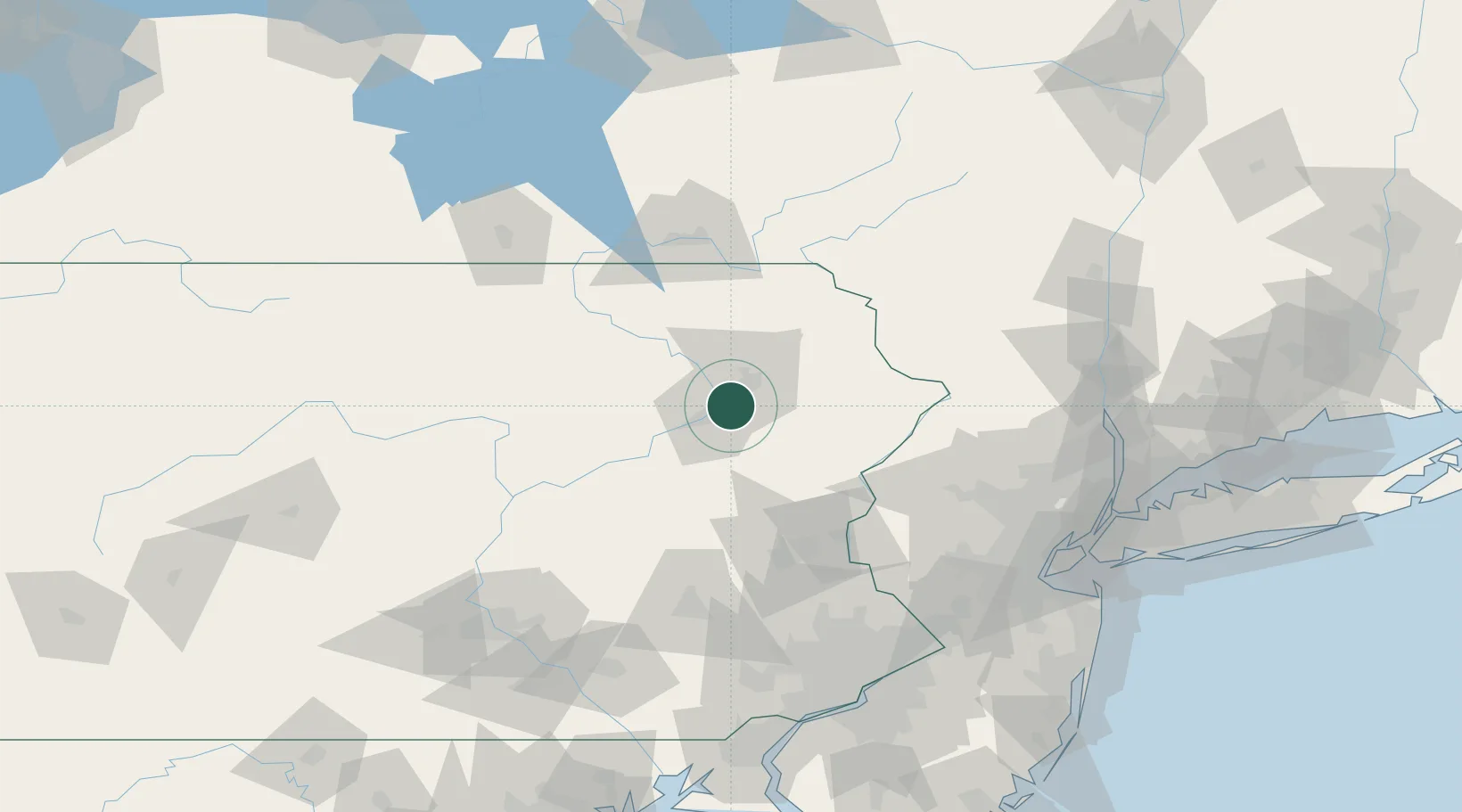
Nearby Logistics Neighbours

Cities
  1. 1West Pittston3 km
  2. 2Wilkes-Barre14 km
  3. 3Hanover Township, Luzerne16 km
  4. 4Falls16 km
  5. 5Ashley17 km
Nearest neighbours — logibook spatial index (haversine) over the source coordinates
Ports
  1. 1Newburgh147 km
  2. 2Trenton149 km
  3. 3Sayreville150 km
  4. 4Bayway151 km
  5. 5Newark151 km
Nearest neighbours — logibook spatial index (haversine) over the source coordinates
Trade Zones
  1. 1FTZ No. 024 Pittston5 km
  2. 2FTZ No. 272 Counties of Lehigh and Northampton69 km
  3. 3FTZ No. 037 Orange County70 km
  4. 4FTZ No. 044 Morris County90 km
  5. 5FTZ No. 147 Berks County110 km
Nearest neighbours — logibook spatial index (haversine) over the source coordinates
DatabookThe Record of Consolidated Knowledge
United States beyond logistics?
Browse databook

All Sources

LocationsUN/LOCODE
UN/LOCODE — free
LocationsGeoNames
CC BY 4.0
Portsthe NGA World Port Index
Public domain (US gov)
AirportsOurAirports
Public domain
Trade Zonesthe World Bank SEZ database
CC BY 4.0
Trade ZonesOpen Zone Map
CC BY
← United States locations