Transport Functions
Road
Multimodal
Hub Profile
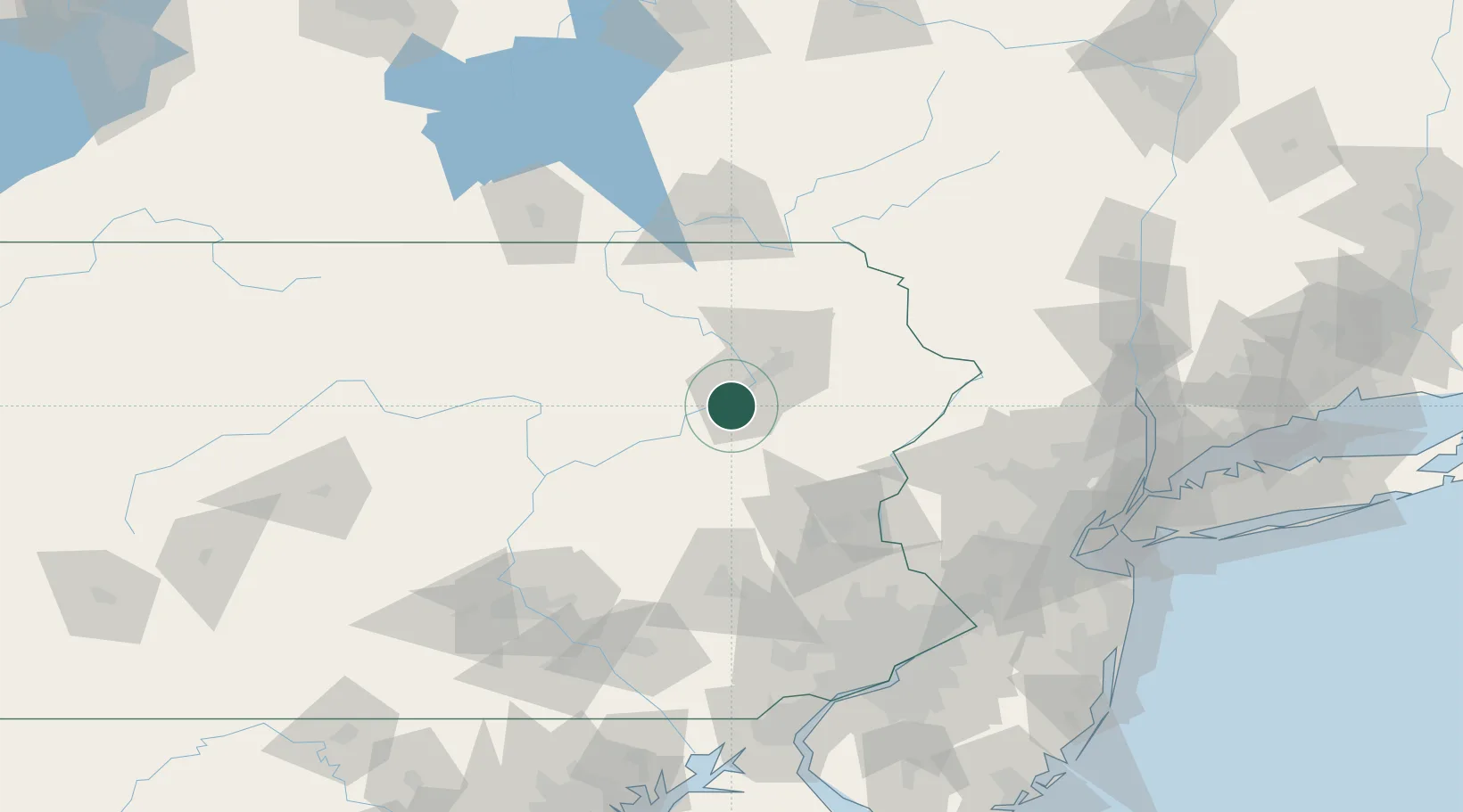
Place type
Populated place
Region
Pennsylvania
Population
2,726
Time zone
America/New_York
Elevation
210 m
Location
Nearby Logistics Neighbours
Cities
- 1Wilkes-Barre3 km
- 2Hanover Township, Luzerne3 km
- 3Nanticoke9 km
- 4West Pittston15 km
- 5Dupont17 km
Ports
- 1Trenton148 km
- 2Bristol153 km
- 3Burlington153 km
- 4Sayreville154 km
- 5Philadelphia155 km
Airports
Trade Zones
DatabookThe Record of Consolidated Knowledge
United States beyond logistics?