Transport Functions
Port
Multimodal
Hub Profile
Place type
Provincial seat
Region
Virginia
Population
861
Time zone
America/New_York
Elevation
77 m
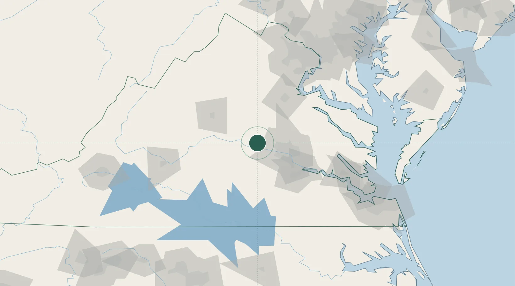
Location
Nearby Logistics Neighbours
Cities
- 1Maidens2 km
- 2Oilville9 km
- 3Powhatan17 km
- 4Hadensville18 km
- 5Rockville19 km
Ports
- 1Richmond44 km
- 2Fredericksburg78 km
- 3West Point97 km
- 4Piney Point129 km
- 5Yorktown132 km
Airports
Trade Zones
DatabookThe Record of Consolidated Knowledge
United States beyond logistics?