Transport Functions
Road
Multimodal
Hub Profile
Place type
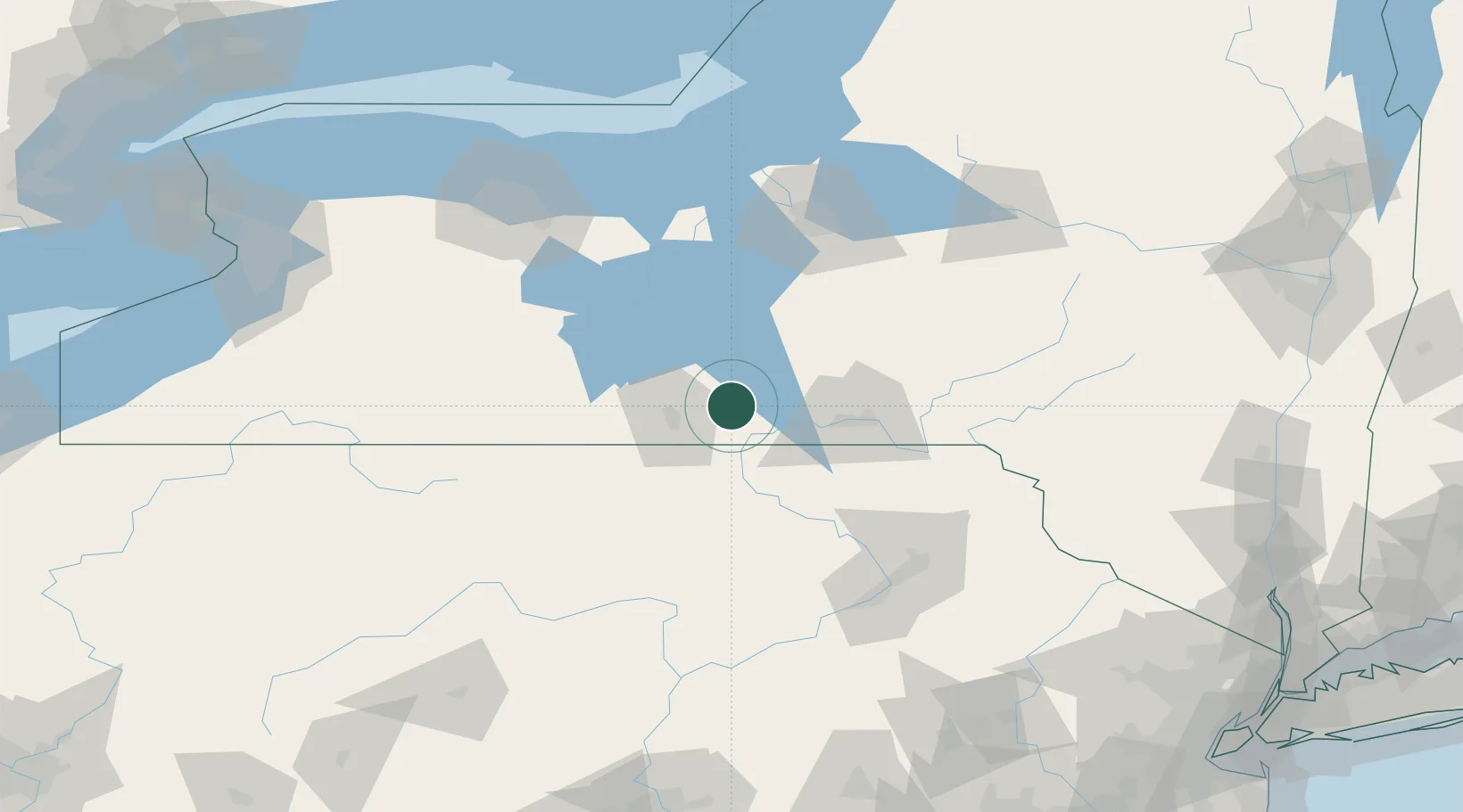
Populated place
Region
New York
Population
519
Time zone
America/New_York
Elevation
310 m
Location
Nearby Logistics Neighbours
Cities
- 1Catatonk21 km
- 2Sayre22 km
- 3Pine Valley24 km
- 4Nichols, Tioga24 km
- 5Odessa25 km
Airports
Trade Zones
- 1FTZ No. 289 Ontario County109 km
- 2FTZ No. 024 Pittston113 km
- 3FTZ No. 172 Oneida County125 km
- 4FTZ No. 090 Onondaga141 km
- 5FTZ No. 037 Orange County162 km
DatabookThe Record of Consolidated Knowledge
United States beyond logistics?