Transport Functions
Rail
Road
Hub Profile
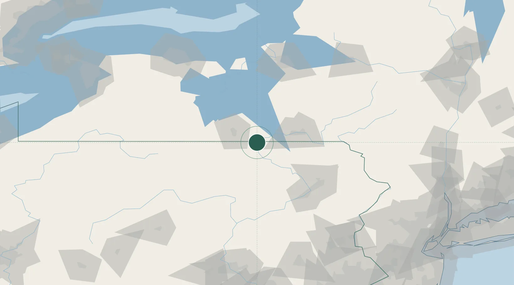
Place type
Populated place
Region
Pennsylvania
Population
5,424
Time zone
America/New_York
Elevation
235 m
Location
Nearby Logistics Neighbours
Cities
- 1Nichols, Tioga13 km
- 2Van Etten22 km
- 3Catatonk26 km
- 4Columbia Cross Roads29 km
- 5Troy31 km
Airports
Trade Zones
DatabookThe Record of Consolidated Knowledge
United States beyond logistics?