UN/LOCODE hub · United States
USNAY
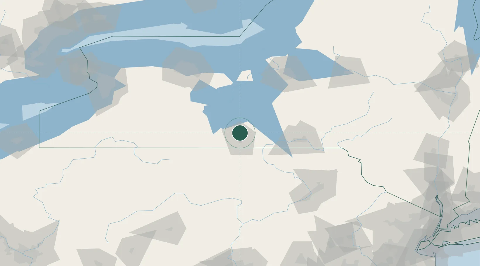
Pine Valley
42.2167°, -76.8333°
813
Population
2
Transport functions
Transport Functions
Rail
Road
Hub Profile
Place type
Populated place
Region
New York
Population
813
Time zone
America/New_York
Elevation
284 m
Location
Nearby Logistics Neighbours
Airports
Trade Zones
- 1FTZ No. 289 Ontario County89 km
- 2FTZ No. 024 Pittston130 km
- 3FTZ No. 172 Oneida County131 km
- 4FTZ No. 090 Onondaga139 km
- 5FTZ No. 141 Monroe County151 km
DatabookThe Record of Consolidated Knowledge
United States beyond logistics?