About
Methodology
Sources
Licensing
English
EN
English
TR
Türkçe
DE
Deutsch
FR
Français
ES
Español
IT
Italiano
PT
Português
NL
Nederlands
PL
Polski
RU
Русский
UK
Українська
CS
Čeština
RO
Română
EL
Ελληνικά
BG
Български
AR
العربية
FA
فارسی
UR
اردو
HI
हिन्दी
BN
বাংলা
ID
Bahasa Indonesia
VI
Tiếng Việt
ZH
中文
JA
日本語
KO
한국어
logibook
/
Countries
/
United States
/
Locations
/
Nichols, Tioga
UN/LOCODE hub ·
United States
US
NS3
Nichols, Tioga
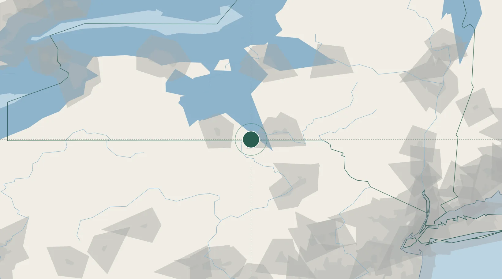
42.0167°, -76.3667°
2
Transport functions
Transport Functions
Road
Multimodal
UN/LOCODE
Hub Profile
Region
NY
GeoNames
Location
Natural Earth 10m (public domain) · NY · USNS3 · 42.02, -76.37
Google ↗
OSM ↗
Yandex ↗
Nearby Logistics Neighbours
Cities
1
Sayre
13 km
2
Catatonk
16 km
3
Nixon
21 km
4
Van Etten
24 km
5
Vestal
27 km
Nearest neighbours — logibook spatial index (haversine) over the source coordinates
Ports
1
Sodus Bay
148 km
2
Oswego
162 km
3
Rochester
172 km
4
Buffalo
228 km
5
Picton
231 km
Nearest neighbours — logibook spatial index (haversine) over the source coordinates
Airports
1
Greater Binghamton/Edwin A Link field
38 km
2
Elmira Corning Regional Airport
46 km
3
Ithaca Tompkins Regional Airport
53 km
4
Wilkes-Barre/Scranton International Airport
93 km
5
Williamsport Regional Airport
98 km
Nearest neighbours — logibook spatial index (haversine) over the source coordinates
Trade Zones
1
FTZ No. 024 Pittston
90 km
2
FTZ No. 289 Ontario County
132 km
3
FTZ No. 172 Oneida County
138 km
4
FTZ No. 037 Orange County
139 km
5
FTZ No. 272 Counties of Lehigh and Northampton
156 km
Nearest neighbours — logibook spatial index (haversine) over the source coordinates
Data
book
The Record of Consolidated Knowledge
United States beyond logistics?
Browse databook
→
All Sources
Locations
UN/LOCODE
UN/LOCODE — free
↗
Ports
the NGA World Port Index
Public domain (US gov)
↗
Airports
OurAirports
Public domain
↗
Trade Zones
the World Bank SEZ database
CC BY 4.0
↗
Trade Zones
Open Zone Map
CC BY
↗
← United States locations