UN/LOCODE hub · United States
USMV9

Morrisville

39.9667°, -75.0500°
2
Transport functions

Transport Functions

Road
Multimodal
UN/LOCODE

Hub Profile

Place type
Populated place
GeoNames
Region
New Jersey
GeoNames
Time zone
America/New_York
GeoNames
Elevation
16 m
GeoNames

Location

Location of USMV9
Natural Earth 10m (public domain) · New Jersey · USMV9 · 39.97, -75.05GoogleOSMYandex

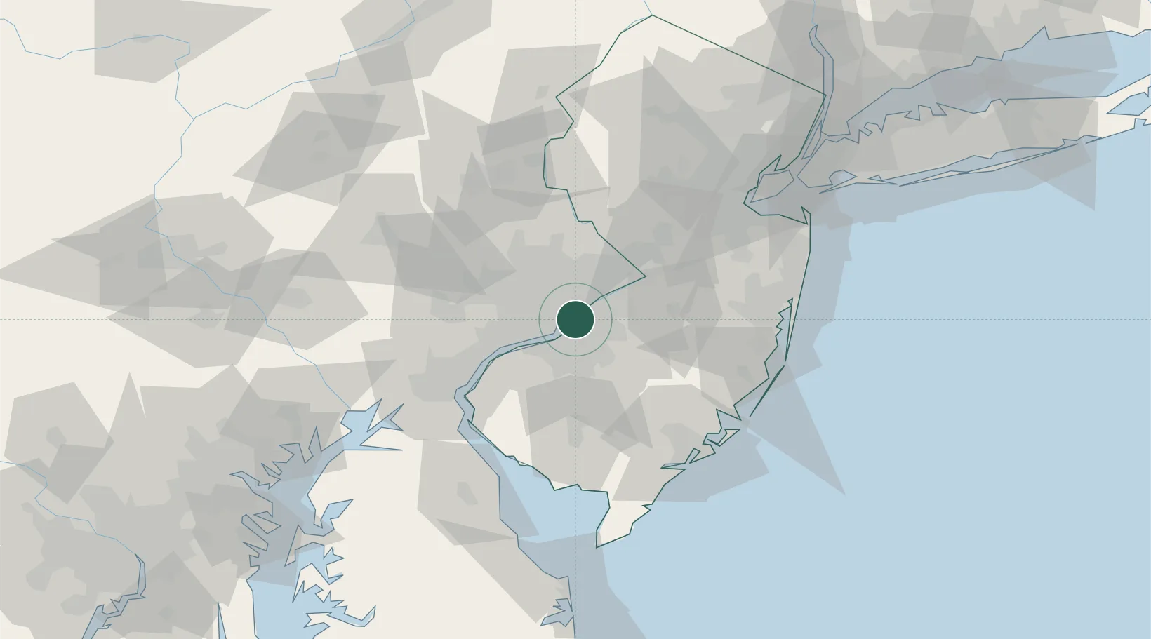
Nearby Logistics Neighbours

Cities
  1. 1Port Richmond5 km
  2. 2Philadelphia6 km
  3. 3Vernon, Camden8 km
  4. 4Camden8 km
  5. 5Nicetown9 km
Nearest neighbours — logibook spatial index (haversine) over the source coordinates
Ports
  1. 1Philadelphia7 km
  2. 2Camden7 km
  3. 3Gloucester10 km
  4. 4Burlington20 km
  5. 5Paulsboro21 km
Nearest neighbours — logibook spatial index (haversine) over the source coordinates
Airports
  1. 1Northeast Philadelphia Airport13 km
  2. 2Philadelphia International Airport19 km
  3. 3Mc Guire Air Force Base39 km
  4. 4Trenton Mercer Airport40 km
  5. 5Wilmington Airport57 km
Nearest neighbours — logibook spatial index (haversine) over the source coordinates
Trade Zones
  1. 1FTZ No. 035 Philadelphia18 km
  2. 2FTZ No. 200 Mercer County39 km
  3. 3FTZ No. 099 Wilmington49 km
  4. 4FTZ No. 142 Salem Millville64 km
  5. 5FTZ No. 235 Lakewood70 km
Nearest neighbours — logibook spatial index (haversine) over the source coordinates
DatabookThe Record of Consolidated Knowledge
United States beyond logistics?
Browse databook

All Sources

LocationsUN/LOCODE
UN/LOCODE — free
Portsthe NGA World Port Index
Public domain (US gov)
AirportsOurAirports
Public domain
Trade Zonesthe World Bank SEZ database
CC BY 4.0
Trade ZonesOpen Zone Map
CC BY
← United States locations