Transport Functions
Road
Multimodal
Hub Profile
Place type
Populated place
Region
Vermont
Time zone
America/New_York
Elevation
313 m
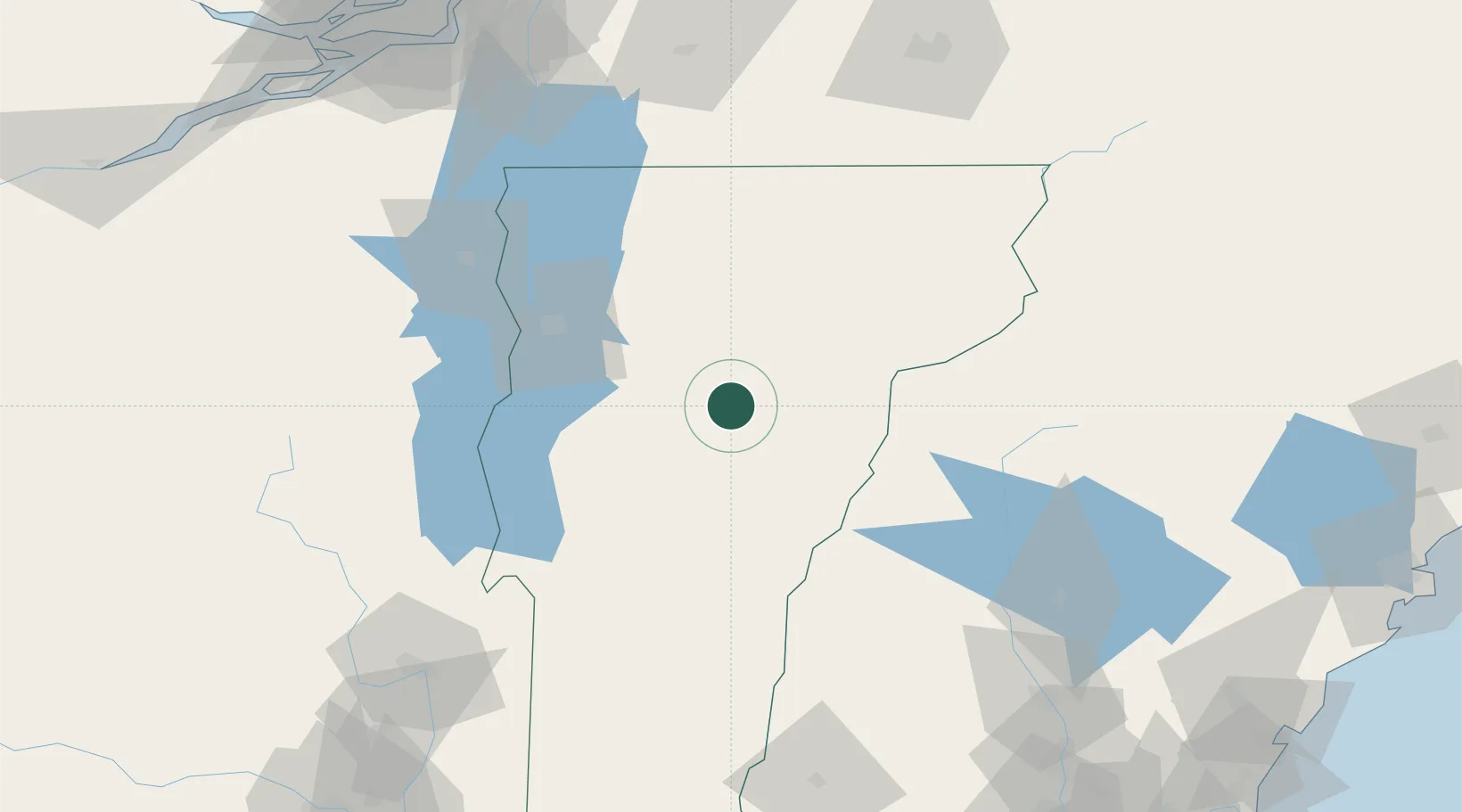
Location
Nearby Logistics Neighbours
Cities
- 1Montpelier6 km
- 2Barre7 km
- 3Northfield8 km
- 4Randolph30 km
- 5Hancock37 km
Ports
- 1Beauharnois161 km
- 2Montreal165 km
- 3Coteau Landing173 km
- 4St Anicet175 km
- 5Vaudreuil176 km
Airports
Trade Zones
- 1FTZ No. 268 Brattleboro149 km
- 2Greater Montreal Free Zone Center165 km
- 3FTZ No. 081 Portsmouth189 km
- 4FTZ No. 263 Auburn190 km
- 5FTZ No. 121 Albany193 km
DatabookThe Record of Consolidated Knowledge
United States beyond logistics?