UN/LOCODE hub · United States
USSV6
Sutersville
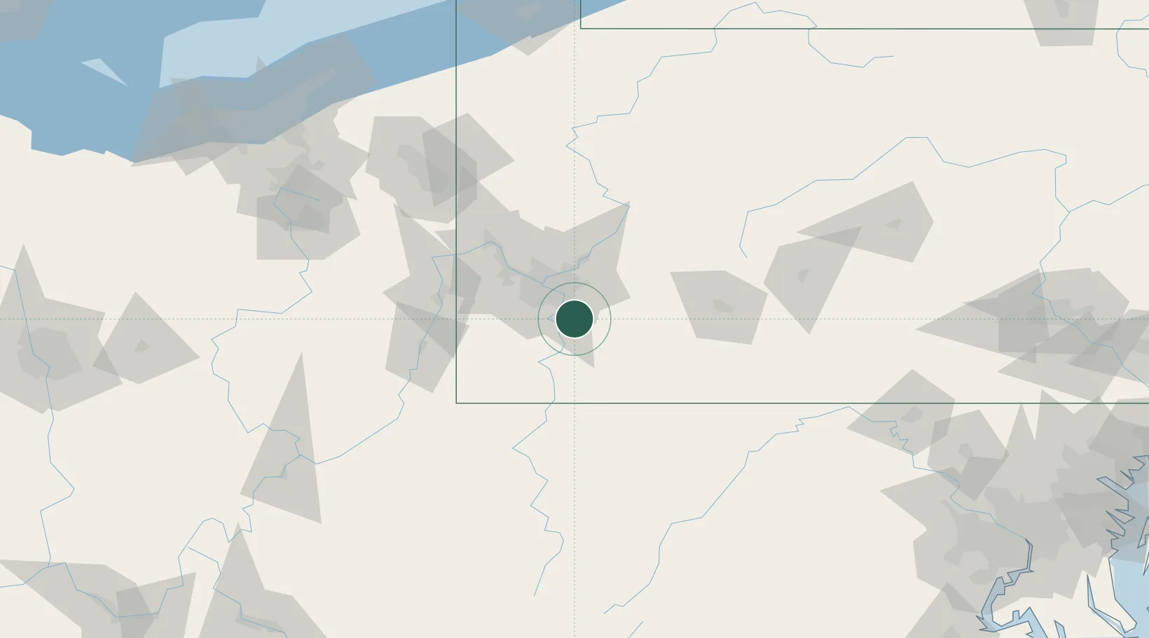
40.2333°, -79.8000°
583
Population
2
Transport functions
Transport Functions
Rail
Road
Hub Profile
Place type
Populated place
Region
Pennsylvania
Population
583
Time zone
America/New_York
Elevation
287 m
Location
Nearby Logistics Neighbours
Airports
Trade Zones
- 1FTZ No. 033 Pittsburgh31 km
- 2FTZ No. 295 Central Pennsylvania133 km
- 3FTZ No. 254 Jefferson County160 km
- 4FTZ No. 240 Martinsburg176 km
- 5FTZ No. 181 Akron Canton183 km
DatabookThe Record of Consolidated Knowledge
United States beyond logistics?