UN/LOCODE hub · United States
USZVG
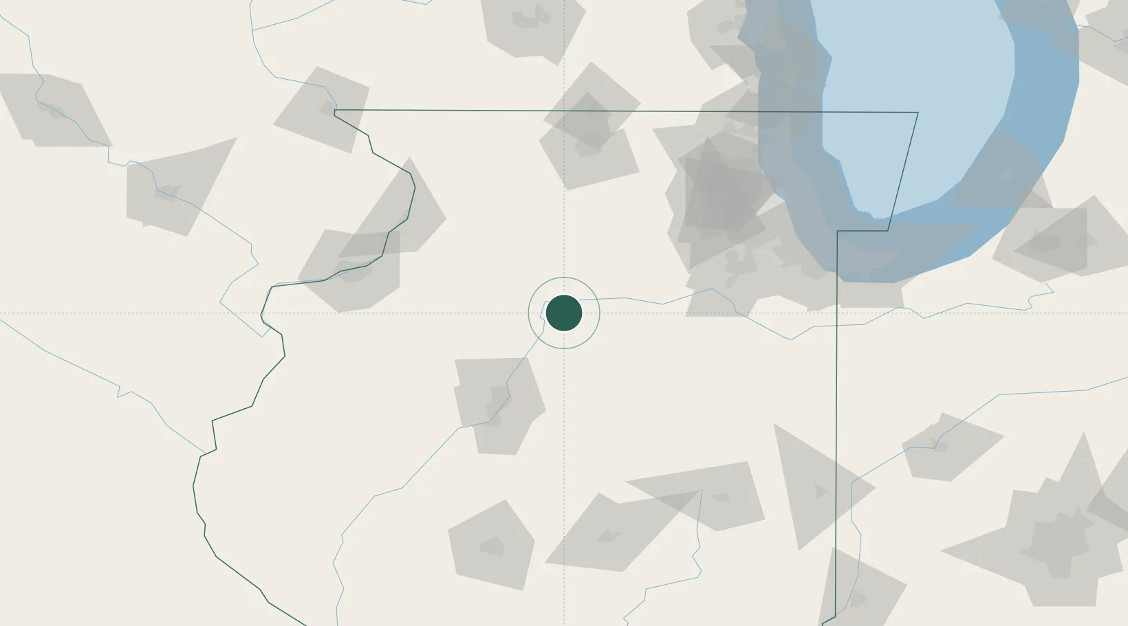
Granville
41.2500°, -89.2167°
1,318
Population
3
Transport functions
Transport Functions
Rail
Road
Multimodal
Hub Profile
Place type
Populated place
Region
Illinois
Population
1,318
Time zone
America/Chicago
Elevation
210 m
Location
Nearby Logistics Neighbours
Ports
- 1Calumet Harbor151 km
- 2Chicago152 km
- 3Indiana Harbor156 km
- 4Wilmette158 km
- 5Gary162 km
Airports
Trade Zones
- 1FTZ No. 114 Peoria69 km
- 2FTZ No. 176 Rockford112 km
- 3FTZ No. 022 Chicago129 km
- 4FTZ No. 271 Jo-Daviess and Carroll Counties146 km
- 5FTZ No. 245 Decatur156 km
DatabookThe Record of Consolidated Knowledge
United States beyond logistics?