UN/LOCODE hub · United States
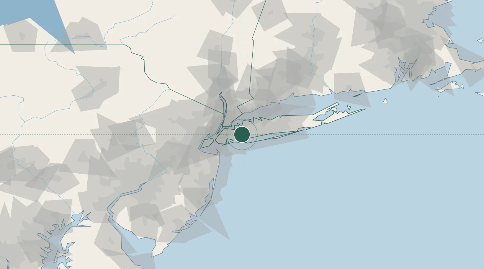
USWH4

West Hempstead

40.7000°, -73.6500°
18,862
Population
2
Transport functions

Transport Functions

Road
Multimodal
UN/LOCODE

Hub Profile

Place type
Populated place
GeoNames
Region
New York
GeoNames
Population
18,862
GeoNames
Time zone
America/New_York
GeoNames
Elevation
20 m
GeoNames

Location

Location of USWH4
Natural Earth 10m (public domain) · New York · USWH4 · 40.70, -73.65GoogleOSMYandex

Nearby Logistics Neighbours

Cities
  1. 1Elmont4 km
  2. 2Uniondale5 km
  3. 3Rockville Centre6 km
  4. 4Glen Oaks6 km
  5. 5Hewlett6 km
Nearest neighbours — logibook spatial index (haversine) over the source coordinates
Ports
  1. 1City Island20 km
  2. 2New York City31 km
  3. 3Edgewater31 km
  4. 4Brooklyn31 km
  5. 5Hoboken31 km
Nearest neighbours — logibook spatial index (haversine) over the source coordinates
Airports
  1. 1John F. Kennedy International Airport13 km
  2. 2Republic Airport20 km
  3. 3LaGuardia Airport21 km
  4. 4New York Skyports Inc Seaplane Base28 km
  5. 5East 34th Street Heliport28 km
Nearest neighbours — logibook spatial index (haversine) over the source coordinates
Trade Zones
  1. 1FTZ No. 001 New York City30 km
  2. 2FTZ No. 049 Newark Elizabeth44 km
  3. 3FTZ No. 052 Suffolk County45 km
  4. 4FTZ No. 076 Bridgeport66 km
  5. 5FTZ No. 235 Lakewood86 km
Nearest neighbours — logibook spatial index (haversine) over the source coordinates
DatabookThe Record of Consolidated Knowledge
United States beyond logistics?
Browse databook

All Sources

LocationsUN/LOCODE
UN/LOCODE — free
LocationsGeoNames
CC BY 4.0
Portsthe NGA World Port Index
Public domain (US gov)
AirportsOurAirports
Public domain
Trade Zonesthe World Bank SEZ database
CC BY 4.0
Trade ZonesOpen Zone Map
CC BY
← United States locations