UN/LOCODE hub · United States
USHGO
Haughton
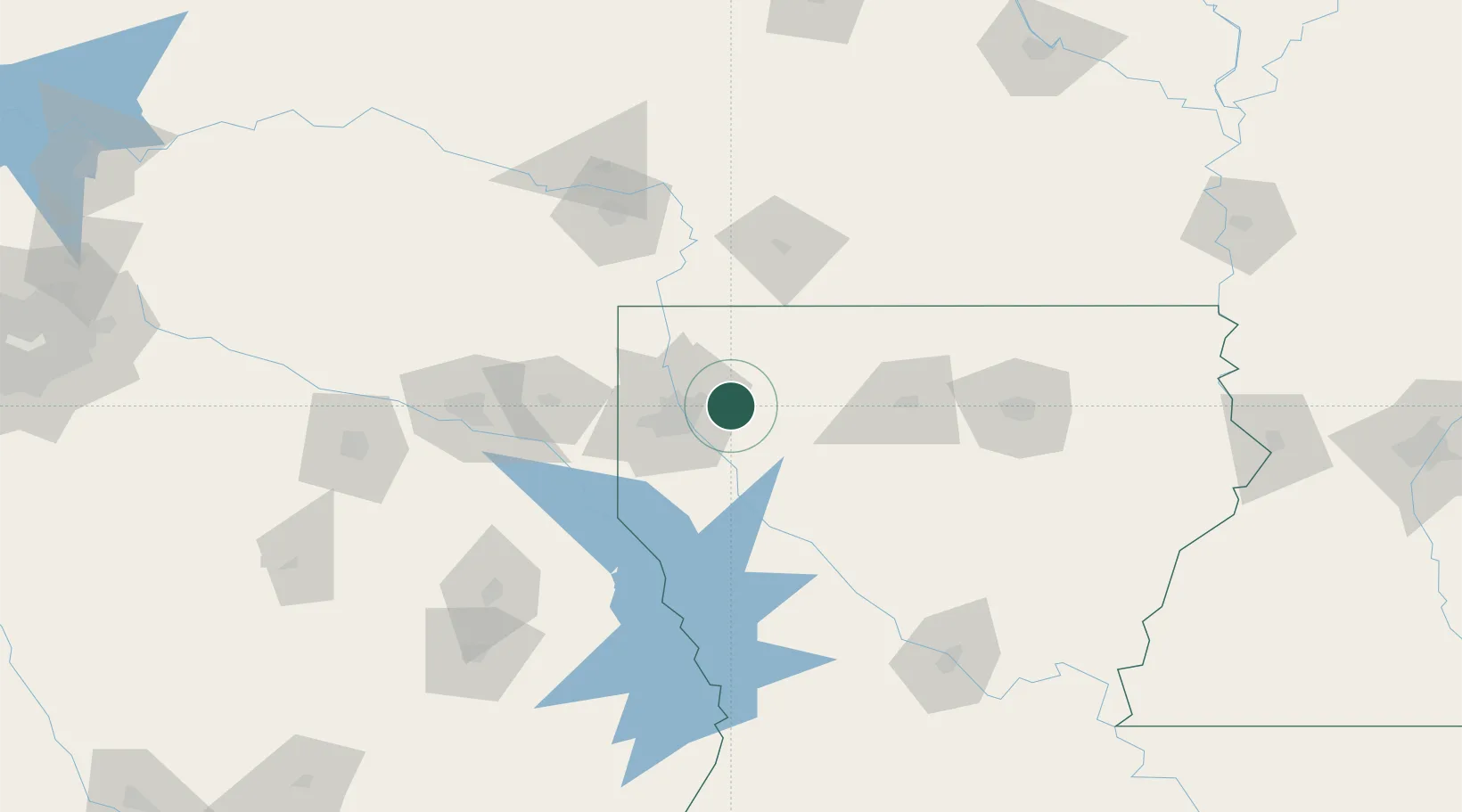
32.5333°, -93.5000°
3,334
Population
2
Transport functions
Transport Functions
Road
Multimodal
Hub Profile
Place type
Populated place
Region
Louisiana
Population
3,334
Time zone
America/Chicago
Elevation
73 m
Location
Nearby Logistics Neighbours
Cities
- 1Princeton6 km
- 2Oakland7 km
- 3Benton30 km
- 4Cotton Valley33 km
- 5Taylor36 km
Ports
- 1Lake Charles259 km
- 2Orange273 km
- 3Beaumont278 km
- 4Port Neches285 km
- 5Port Arthur304 km
Airports
Trade Zones
- 1FTZ No. 145 Shreveport43 km
- 2FTZ No. 146 Lawrence County43 km
- 3FTZ No. 234 Gregg County134 km
- 4FTZ No. 258 Bowie County152 km
- 5FTZ No. 297 Lufkin182 km
DatabookThe Record of Consolidated Knowledge
United States beyond logistics?