Transport Functions
Rail
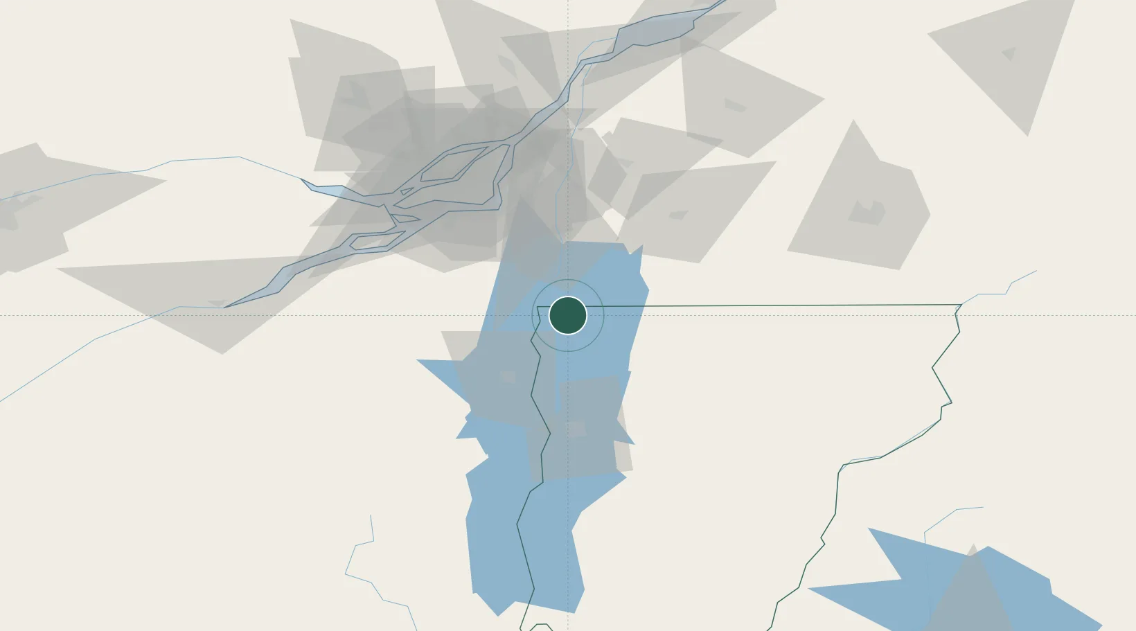
Hub Profile
Place type
Populated place
Region
Vermont
Time zone
America/New_York
Elevation
33 m
Location
Nearby Logistics Neighbours
Cities
- 1Saint-Paul-de-l'Île-aux-Noix11 km
- 2Philipsburg14 km
- 3Saint-Armand16 km
- 4Saint Albans20 km
- 5Saint-Sébastien21 km
Ports
- 1Beauharnois65 km
- 2Montreal67 km
- 3Vaudreuil80 km
- 4Coteau Landing83 km
- 5St Zotique87 km
Airports
Trade Zones
- 1Greater Montreal Free Zone Center66 km
- 2FTZ No. 118 Ogdensburg183 km
- 3FTZ No. 109 Watertown239 km
- 4FTZ No. 268 Brattleboro239 km
- 5FTZ No. 121 Albany255 km
DatabookThe Record of Consolidated Knowledge
United States beyond logistics?