Transport Functions
Road
Multimodal
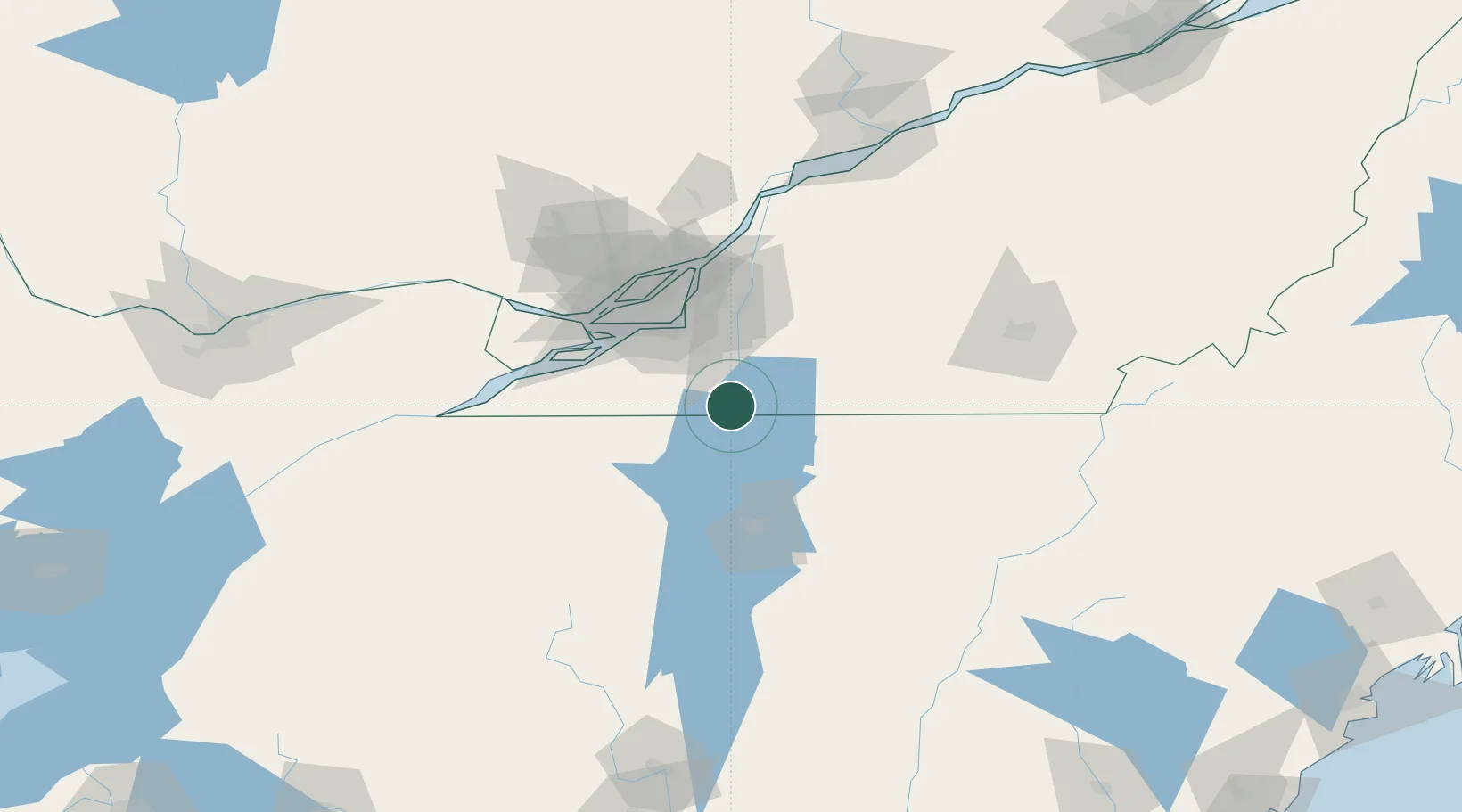
Hub Profile
Region
QC
Location
Nearby Logistics Neighbours
Cities
- 1East Alburg11 km
- 2Saint-Sébastien17 km
- 3Philipsburg18 km
- 4Saint-Armand21 km
- 5Hemmingford24 km
Ports
- 1Beauharnois55 km
- 2Montreal56 km
- 3Vaudreuil69 km
- 4Coteau Landing74 km
- 5Oka Sur Le Lac77 km
Airports
Trade Zones
- 1Greater Montreal Free Zone Center55 km
- 2FTZ No. 118 Ogdensburg178 km
- 3FTZ No. 109 Watertown237 km
- 4FTZ No. 268 Brattleboro250 km
- 5Québec City FTZ253 km
DatabookThe Record of Consolidated Knowledge
Canada beyond logistics?