UN/LOCODE hub · United States
USSB3

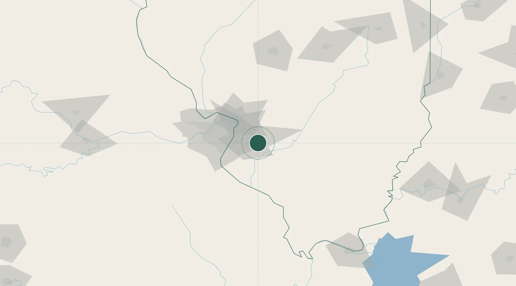
Scott Air Force Base

38.5500°, -89.8667°
3,612
Population
4
Transport functions

Transport Functions

Rail
Road
Airport
Multimodal
UN/LOCODE

Hub Profile

Place type
Populated place
GeoNames
Region
Illinois
GeoNames
Population
3,612
GeoNames
Time zone
America/Chicago
GeoNames
Elevation
134 m
GeoNames

Location

Location of USSB3
Natural Earth 10m (public domain) · Illinois · USSB3 · 38.55, -89.87GoogleOSMYandex

Nearby Logistics Neighbours

Cities
  1. 1O'Fallon7 km
  2. 2Mascoutah7 km
  3. 3Lebanon8 km
  4. 4Swansea10 km
  5. 5Collinsville17 km
Nearest neighbours — logibook spatial index (haversine) over the source coordinates
Ports
  1. 1Port Of Memphis388 km
  2. 2Gary403 km
  3. 3Indiana Harbor404 km
  4. 4Calumet Harbor406 km
  5. 5Chicago418 km
Nearest neighbours — logibook spatial index (haversine) over the source coordinates
Airports
  1. 1Scott AFB/Midamerica Airport3 km
  2. 2St Louis Regional Airport41 km
  3. 3St. Louis Lambert International Airport49 km
  4. 4Spirit of St Louis Airport69 km
  5. 5Southern Illinois Airport101 km
Nearest neighbours — logibook spatial index (haversine) over the source coordinates
Trade Zones
  1. 1FTZ No. 031 Granite City36 km
  2. 2FTZ No. 102 St. Louis County74 km
  3. 3FTZ No. 245 Decatur161 km
  4. 4FTZ No. 294 Western Kentucky200 km
  5. 5FTZ No. 177 Evansville206 km
Nearest neighbours — logibook spatial index (haversine) over the source coordinates
DatabookThe Record of Consolidated Knowledge
United States beyond logistics?
Browse databook

All Sources

LocationsUN/LOCODE
UN/LOCODE — free
LocationsGeoNames
CC BY 4.0
Portsthe NGA World Port Index
Public domain (US gov)
AirportsOurAirports
Public domain
Trade Zonesthe World Bank SEZ database
CC BY 4.0
Trade ZonesOpen Zone Map
CC BY
← United States locations