Transport Functions
Rail
Road
Hub Profile
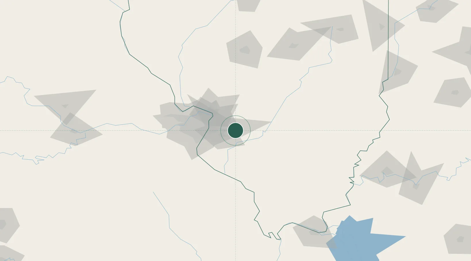
Place type
Populated place
Region
Illinois
Population
4,467
Time zone
America/Chicago
Elevation
156 m
Location
Nearby Logistics Neighbours
Cities
- 1Scott Air Force Base8 km
- 2Mascoutah9 km
- 3O'Fallon10 km
- 4Collinsville18 km
- 5Swansea18 km
Ports
- 1Port Of Memphis394 km
- 2Gary396 km
- 3Indiana Harbor396 km
- 4Calumet Harbor399 km
- 5Chicago410 km
Airports
Trade Zones
- 1FTZ No. 031 Granite City38 km
- 2FTZ No. 102 St. Louis County79 km
- 3FTZ No. 245 Decatur154 km
- 4FTZ No. 294 Western Kentucky201 km
- 5FTZ No. 177 Evansville202 km
DatabookThe Record of Consolidated Knowledge
United States beyond logistics?