UN/LOCODE hub · United States
USSW6
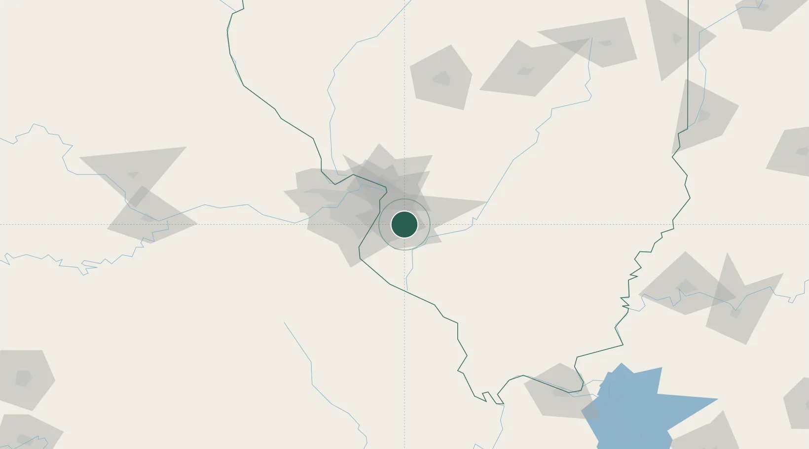
Swansea
38.5333°, -89.9833°
13,543
Population
2
Transport functions
Transport Functions
Rail
Road
Hub Profile
Place type
Populated place
Region
Illinois
Population
13,543
Time zone
America/Chicago
Elevation
166 m
Location
Nearby Logistics Neighbours
Cities
- 1O'Fallon9 km
- 2Stookey10 km
- 3Centreville10 km
- 4Scott Air Force Base10 km
- 5Caseyville11 km
Ports
- 1Port Of Memphis386 km
- 2Gary410 km
- 3Indiana Harbor410 km
- 4Calumet Harbor413 km
- 5Chicago424 km
Airports
Trade Zones
- 1FTZ No. 031 Granite City30 km
- 2FTZ No. 102 St. Louis County64 km
- 3FTZ No. 245 Decatur167 km
- 4FTZ No. 294 Western Kentucky204 km
- 5FTZ No. 177 Evansville215 km
DatabookThe Record of Consolidated Knowledge
United States beyond logistics?