UN/LOCODE hub · United States
USOFA
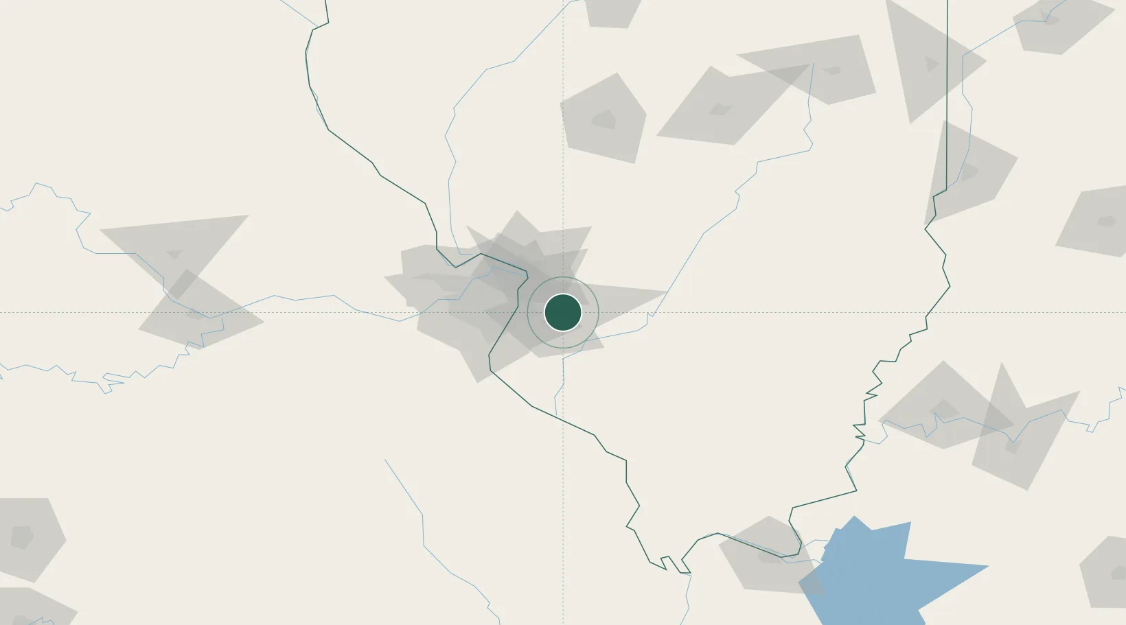
O'Fallon
38.6000°, -89.9167°
29,002
Population
3
Transport functions
Transport Functions
Rail
Road
Multimodal
Hub Profile
Place type
Populated place
Region
Illinois
Population
29,002
Time zone
America/Chicago
Elevation
167 m
Location
Nearby Logistics Neighbours
Cities
- 1Scott Air Force Base7 km
- 2Collinsville9 km
- 3Swansea9 km
- 4Lebanon10 km
- 5Caseyville12 km
Ports
- 1Port Of Memphis394 km
- 2Gary401 km
- 3Indiana Harbor401 km
- 4Calumet Harbor404 km
- 5Chicago415 km
Airports
Trade Zones
- 1FTZ No. 031 Granite City29 km
- 2FTZ No. 102 St. Louis County69 km
- 3FTZ No. 245 Decatur158 km
- 4FTZ No. 294 Western Kentucky207 km
- 5FTZ No. 177 Evansville212 km
DatabookThe Record of Consolidated Knowledge
United States beyond logistics?