UN/LOCODE hub · United States
USS7K
South Kingstown
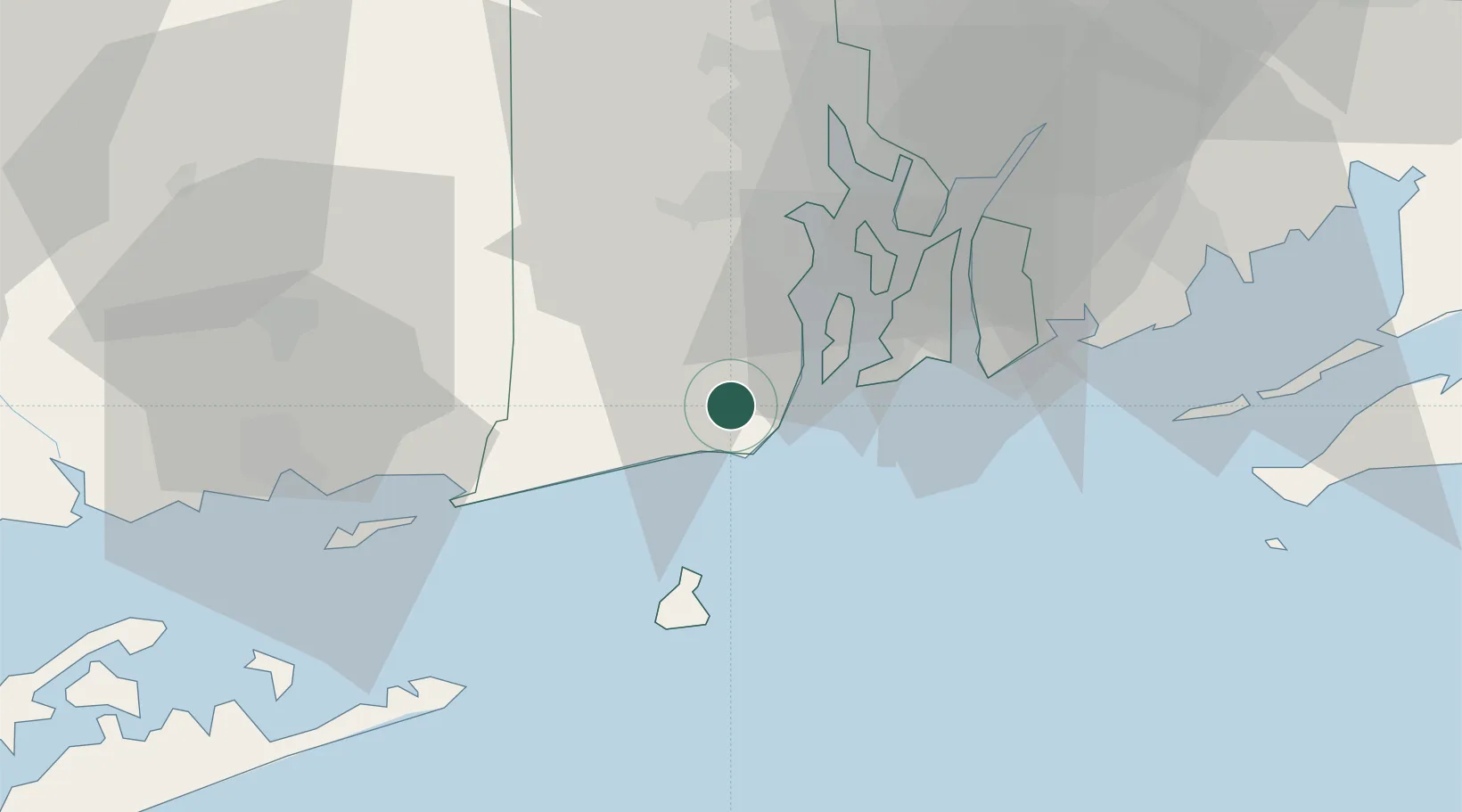
41.4333°, -71.5167°
30,826
Population
1
Transport functions
Transport Functions
Port
Hub Profile
Place type
Populated place
Region
Rhode Island
Population
30,826
Time zone
America/New_York
Elevation
60 m
Location
Nearby Logistics Neighbours
Cities
- 1West Kingston6 km
- 2Slocum9 km
- 3Carolina13 km
- 4Wood River Junction14 km
- 5Exeter15 km
Ports
- 1Newport17 km
- 2Quonset Point19 km
- 3Davisville Depot23 km
- 4Bristol33 km
- 5Tiverton33 km
Airports
Trade Zones
DatabookThe Record of Consolidated Knowledge
United States beyond logistics?