UN/LOCODE hub · United States
USRXL
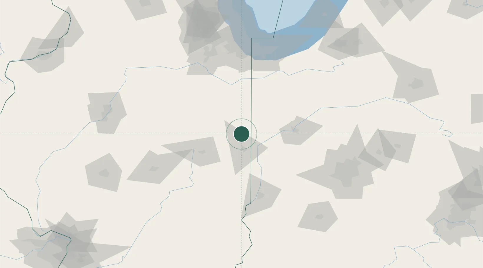
Rossville
40.3667°, -87.6667°
1,282
Population
2
Transport functions
Transport Functions
Rail
Road
Hub Profile
Place type
Populated place
Region
Illinois
Population
1,282
Time zone
America/Chicago
Elevation
209 m
Location
Nearby Logistics Neighbours
Ports
- 1Gary142 km
- 2Indiana Harbor146 km
- 3Calumet Harbor153 km
- 4Michigan City165 km
- 5Chicago169 km
Airports
Trade Zones
- 1FTZ No. 245 Decatur131 km
- 2FTZ No. 072 Indianapolis136 km
- 3FTZ No. 152 Burns Harbor146 km
- 4FTZ No. 022 Chicago164 km
- 5FTZ No. 114 Peoria167 km
DatabookThe Record of Consolidated Knowledge
United States beyond logistics?